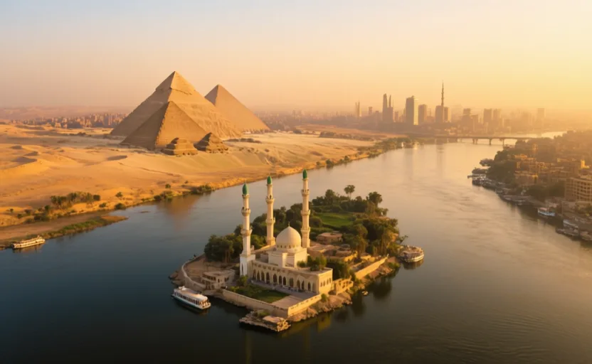
Start with geography
A green line through a desert
Egypt is one of the driest countries on Earth, and also one where nearly everybody lives within a few kilometres of fresh water. Those two facts are the same fact. The Nile flows north across the eastern Sahara, and the cultivable land is the floodplain it has built either side of its channel, widening into a delta before the Mediterranean.
From the air the shape is unmistakable: a thin green ribbon, a fan at the top, and desert on both sides. Satellite images of the delta show the pattern clearly — a densely lit, intensively farmed triangle surrounded by almost nothing. Where a country's people can live is a geographic question before it is a political one.
Answer the check to continue.
Sources for this chapter
- NASA Earth Observatory · The Nile Delta's Disappearing FarmlandNASA Earth Observatory · checked 2026-09-07