Understand a place
The atlas
Every place here has a full entry: where it is, the land and water around it, its history, the languages actually spoken there, and the sources for all of it.
44 written entries · 626 places on the globe
Open the globeHistoric places
- AfricaAksumThe centre of a trading kingdom in the northern Ethiopian highlands, known for its carved stelae and early adoption of Christianity.
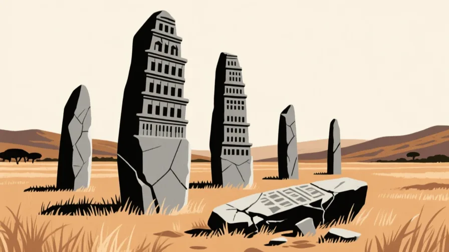 Aksum · AI illustration, not a photograph
- Southeast AsiaAngkorThe capital region of the Khmer Empire in northern Cambodia, built around a large engineered water system.
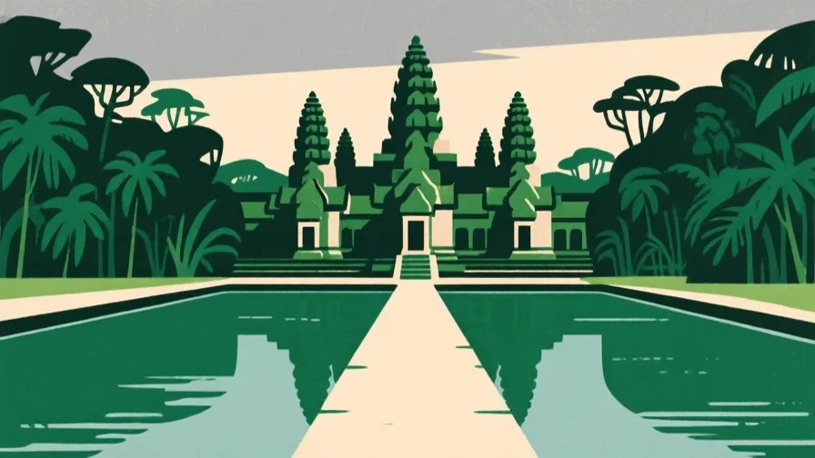 Angkor · AI illustration, not a photograph
- Southeast AsiaBorobudurA terraced Buddhist monument in central Java, built in stone as a single ascending structure.
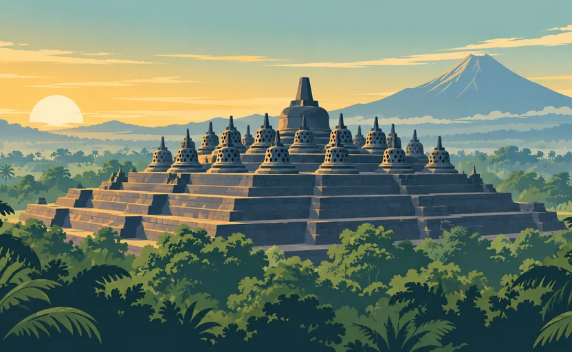 Borobudur · AI illustration, not a photograph
- AfricaDjennéA town of the Inner Niger Delta whose Great Mosque is rebuilt in mud brick by the community each year.
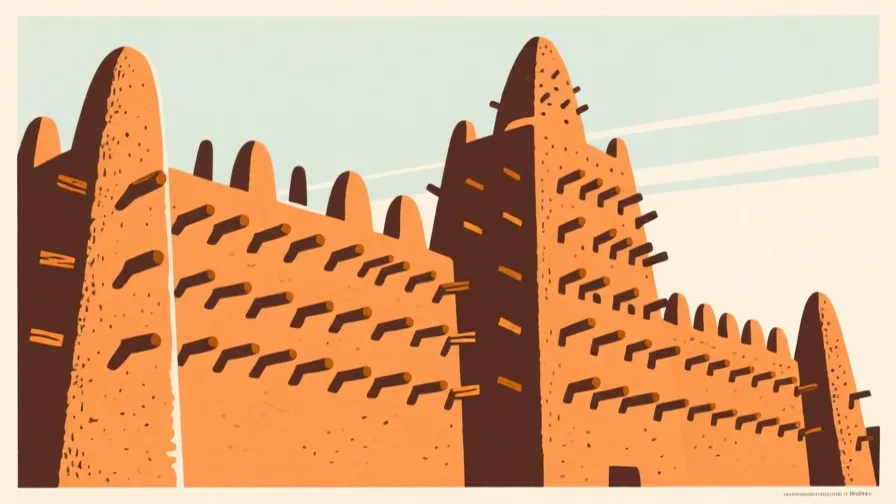 Djenné · AI illustration, not a photograph
- AfricaGreat ZimbabweA large dry-stone settlement in southern Africa, built without mortar, that traded with the Indian Ocean coast.
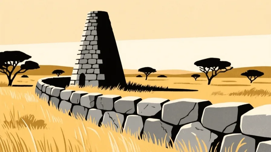 Great Zimbabwe · AI illustration, not a photograph
- AfricaLalibelaA highland town whose churches are cut downward into solid rock rather than built up from the ground.
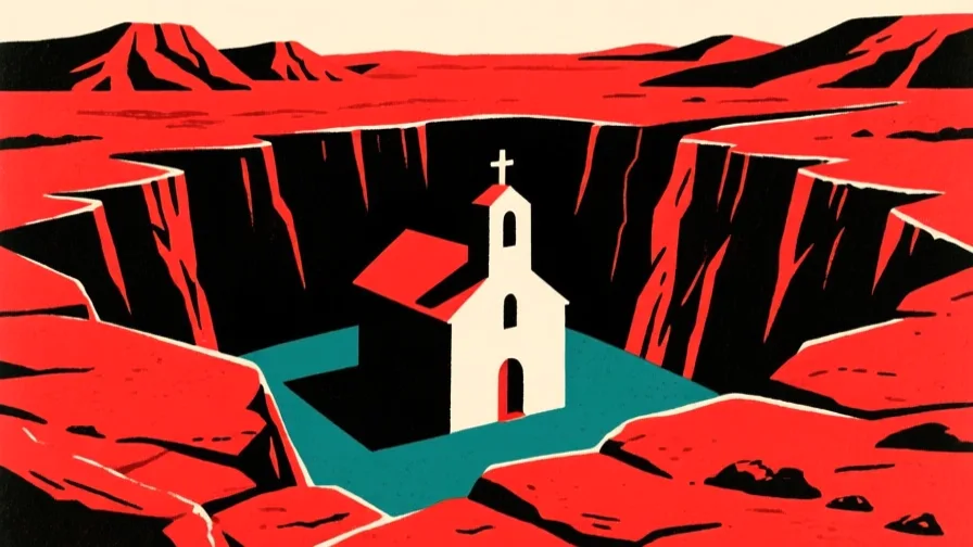 Lalibela · AI illustration, not a photograph
- Latin AmericaMachu PicchuAn Inca settlement on a ridge above the Urubamba valley, built with fitted stone and agricultural terracing.
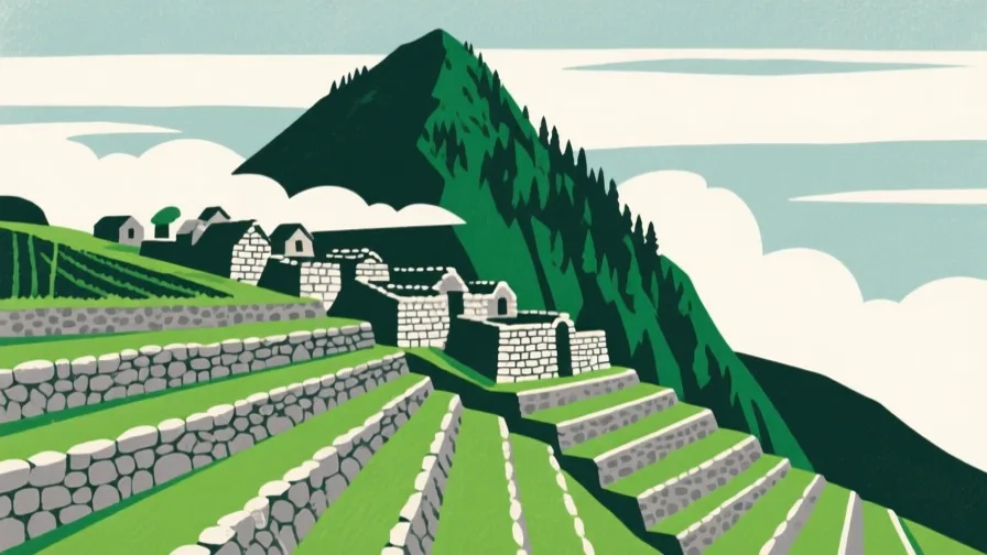 Machu Picchu · AI illustration, not a photograph
- South AsiaMohenjo-daroA planned Bronze Age city of the Indus Valley civilisation, with drainage and street grids laid out from the start.
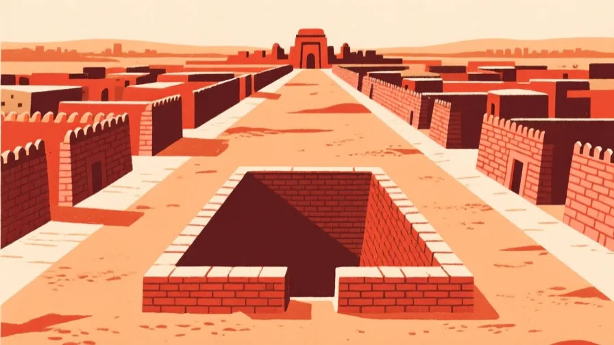 Mohenjo-daro · AI illustration, not a photograph
- East AsiaNaraJapan's capital during the eighth century, laid out on a grid modelled on Chinese capital planning.
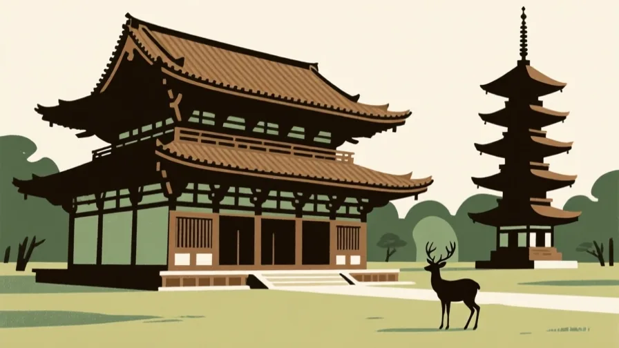 Nara · AI illustration, not a photograph
- Middle EastPetraA Nabataean city carved into sandstone in southern Jordan, sustained by engineered water capture in a near-desert.
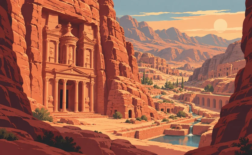 Petra · AI illustration, not a photograph
- Central AsiaSamarkandAn oasis city on the Zeravshan, occupied for well over two thousand years and a major node on the overland routes across Asia.
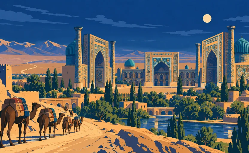 Samarkand · AI illustration, not a photograph
- Latin AmericaTeotihuacanA large planned city northeast of the Valley of Mexico, laid out on a single axis and abandoned centuries before the Mexica arrived.
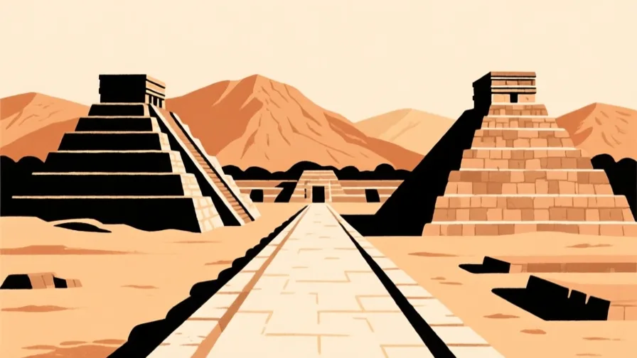 Teotihuacan · AI illustration, not a photograph
- AfricaTimbuktuA city on the Niger's northern bend that became a centre of trans-Saharan trade and of Islamic scholarship and manuscript copying.
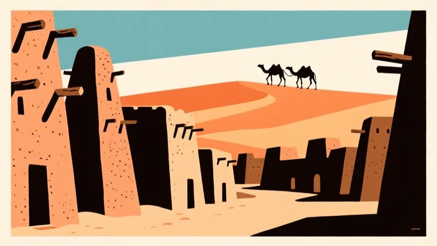 Timbuktu · AI illustration, not a photograph
- South AsiaVaranasiA city on the Ganges' western bank, continuously inhabited for millennia and a principal Hindu pilgrimage destination.
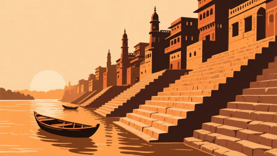 Varanasi · AI illustration, not a photograph
- East AsiaXi'anA city in the Wei valley that served as an imperial capital under several Chinese dynasties and as the eastern end of the overland routes west.
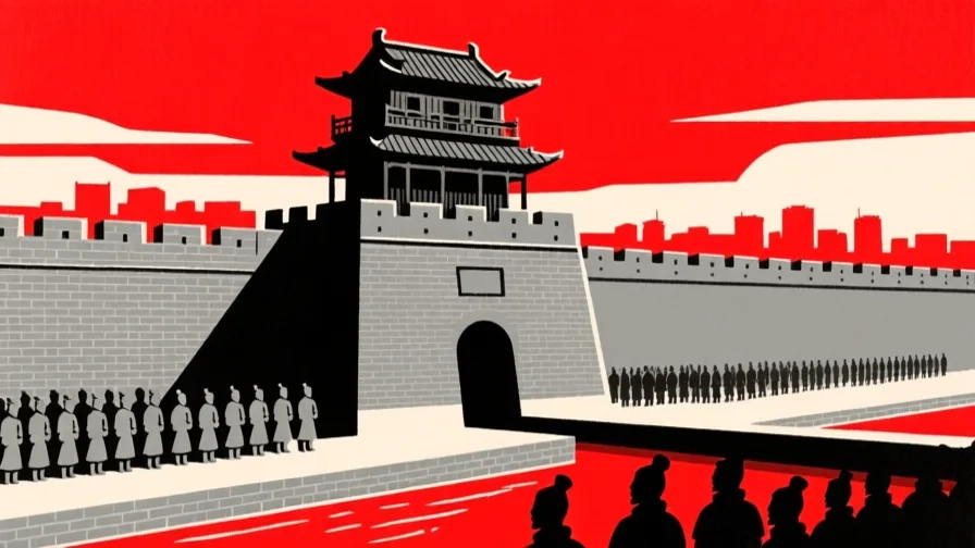 Xi'an · AI illustration, not a photograph
Rivers, seas and landscapes
- AfricaCape of Good HopeA rocky headland on the Cape Peninsula, long treated as the turning point on the sea route between the Atlantic and Indian Oceans.
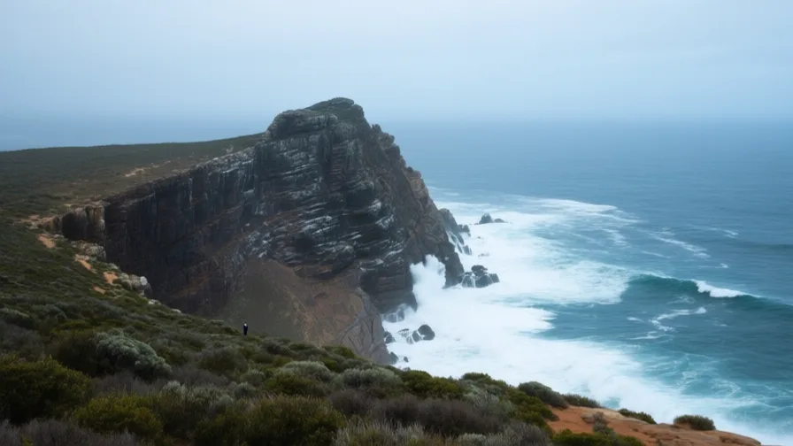 Cape of Good Hope · AI landscape illustration · Artistic impression
- OceaniaCook StraitThe strait between New Zealand's North and South Islands, at the narrowest point about 22 kilometres across.
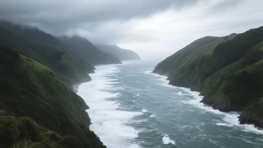 Cook Strait · AI landscape illustration · Artistic impression
- Southeast AsiaRed River DeltaThe densely settled floodplain of northern Vietnam, and the agricultural base Hanoi grew from.
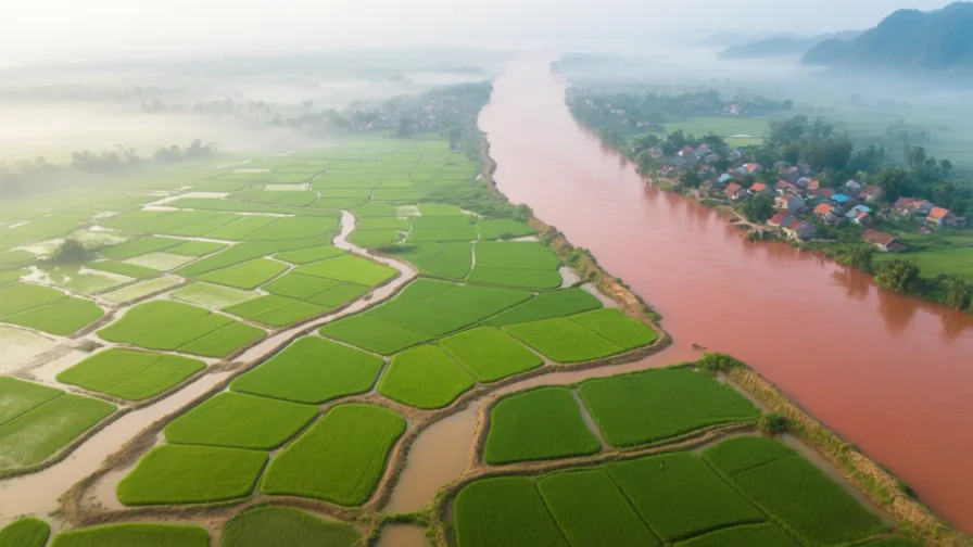 Red River Delta · AI landscape illustration · Artistic impression
- Southeast AsiaStrait of MalaccaThe narrow sea passage between Sumatra and the Malay Peninsula, on the shortest route between the Indian Ocean and the South China Sea.
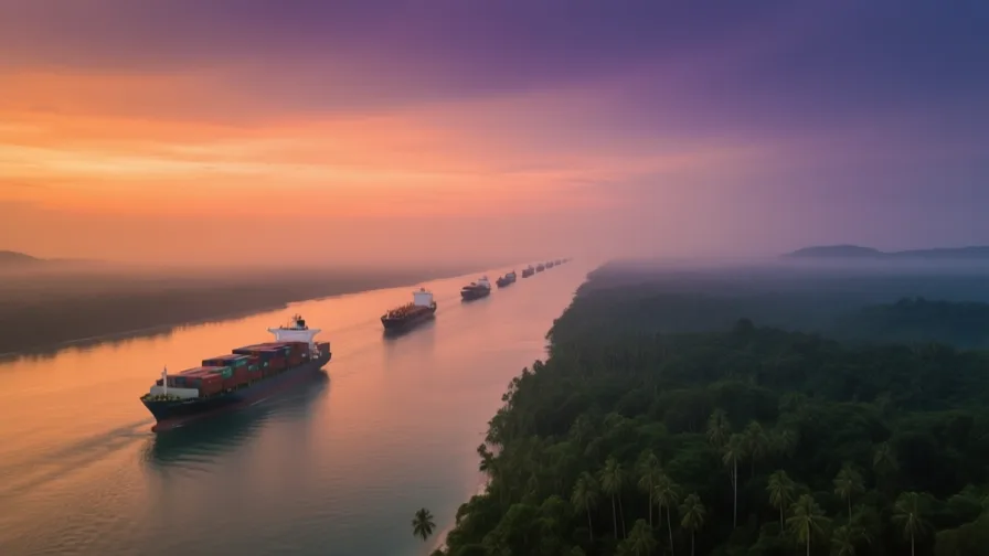 Strait of Malacca · AI landscape illustration · Artistic impression
- OceaniaSydney HarbourA deep drowned river valley on Australia's east coast, and the reason a settlement was placed here in 1788.
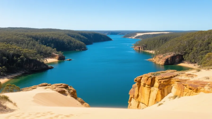 Sydney Harbour · AI landscape illustration · Artistic impression
- Central AsiaThe Amu DaryaCentral Asia's largest river by volume, historically the Oxus, and one of the two rivers diverted away from the Aral Sea.
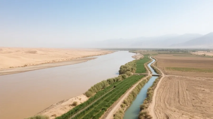 The Amu Darya · AI landscape illustration · Artistic impression
- Latin AmericaThe AndesThe longest continental mountain range on Earth, running the length of western South America.
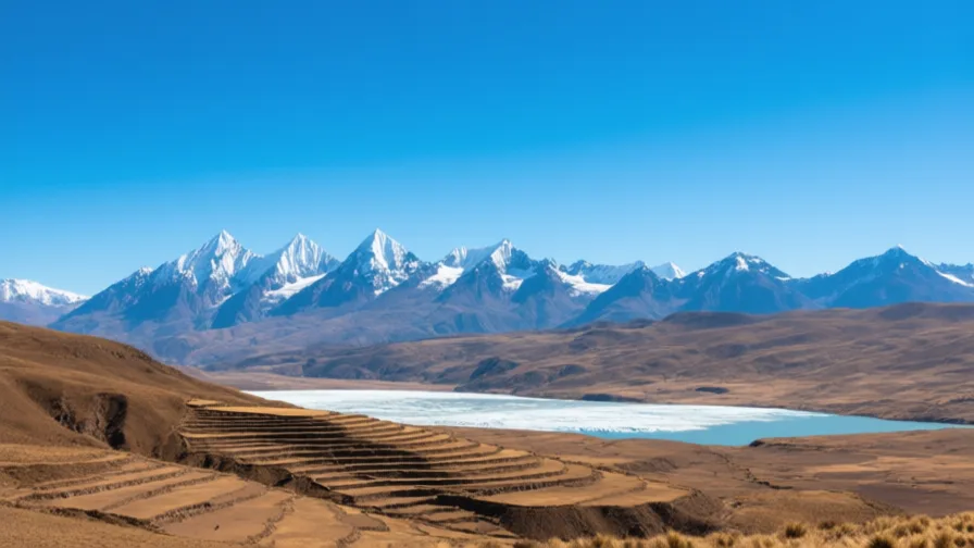 The Andes · AI landscape illustration · Artistic impression
- South AsiaThe Bengal DeltaThe world's largest river delta, built by the Ganges and Brahmaputra and home to tens of millions.
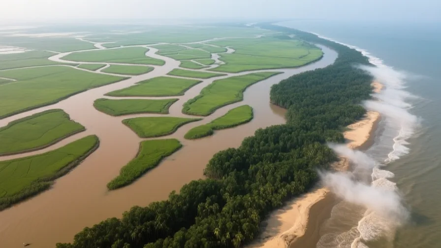 The Bengal Delta · AI landscape illustration · Artistic impression
- EuropeThe BosphorusThe strait joining the Black Sea to the Sea of Marmara, and the water Istanbul is built along both sides of.
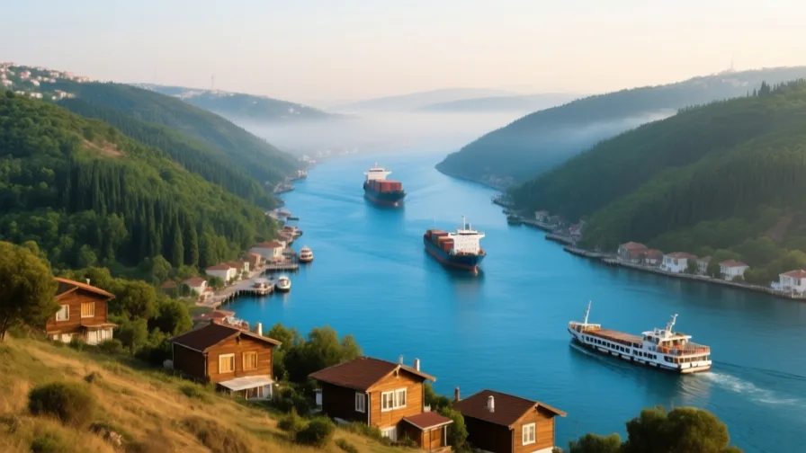 The Bosphorus · AI landscape illustration · Artistic impression
- South AsiaThe GangesA major river of northern India, central to Hindu practice and to the agriculture of the plains it crosses.
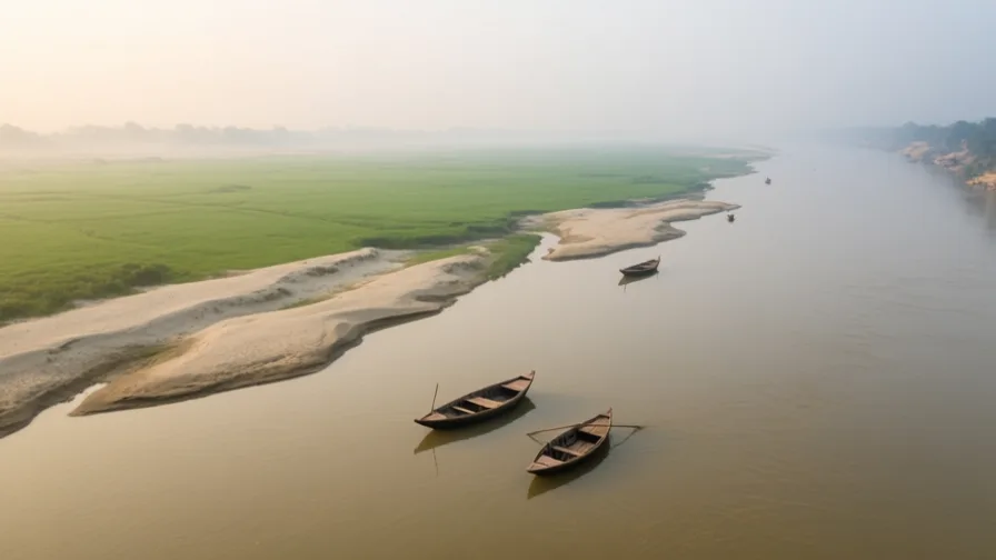 The Ganges · AI landscape illustration · Artistic impression
- Southeast AsiaThe MekongA river crossing six countries from the Tibetan Plateau to a delta in southern Vietnam.
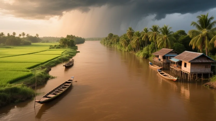 The Mekong · AI landscape illustration · Artistic impression
- North AmericaThe MississippiThe principal river of North America's interior, draining a basin that reaches from the Rockies to the Appalachians.
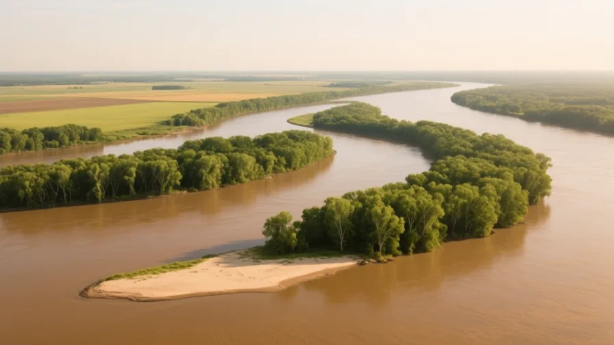 The Mississippi · AI landscape illustration · Artistic impression
- AfricaThe NigerWest Africa's principal river, whose great northward bend brings water to the desert's southern edge.
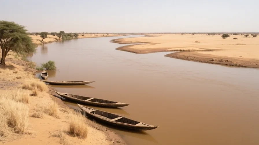 The Niger · AI landscape illustration · Artistic impression
- AfricaThe NileOne of the world's longest rivers, flowing north through Sudan and Egypt to a Mediterranean delta.
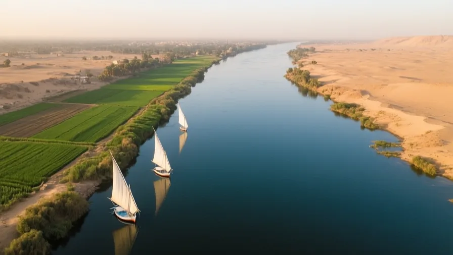 The Nile · AI landscape illustration · Artistic impression
- AfricaThe SaharaThe largest hot desert on Earth, crossed for centuries by caravan routes linking West Africa to the Mediterranean.
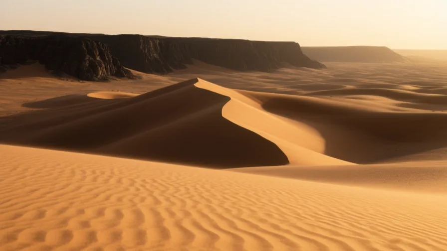 The Sahara · AI landscape illustration · Artistic impression
- North AmericaThe St LawrenceThe river and estuary connecting the Great Lakes to the Atlantic, and the route Europeans used to reach the North American interior.
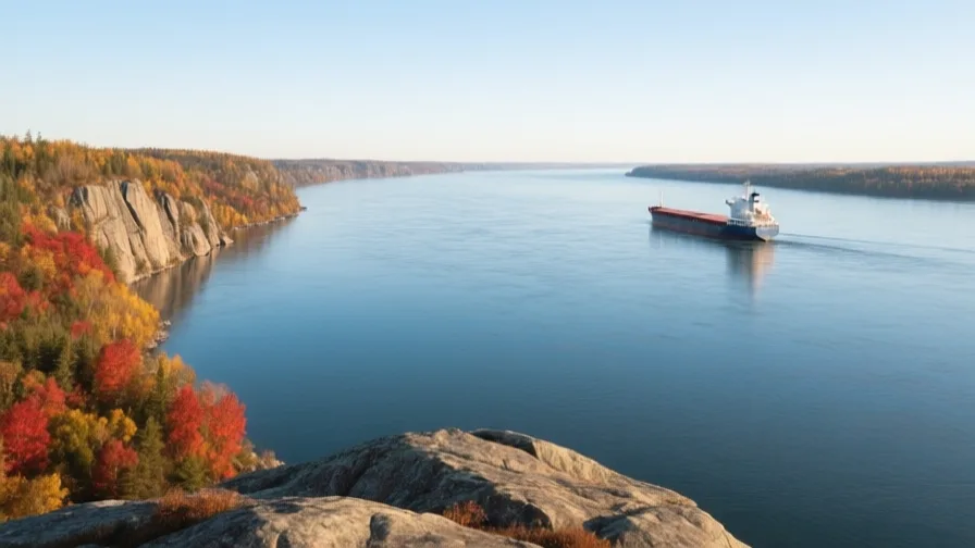 The St Lawrence · AI landscape illustration · Artistic impression
- EuropeThe Tagus EstuaryThe broad sheltered mouth of the Tagus, giving Lisbon a deep-water harbour close to the open Atlantic.
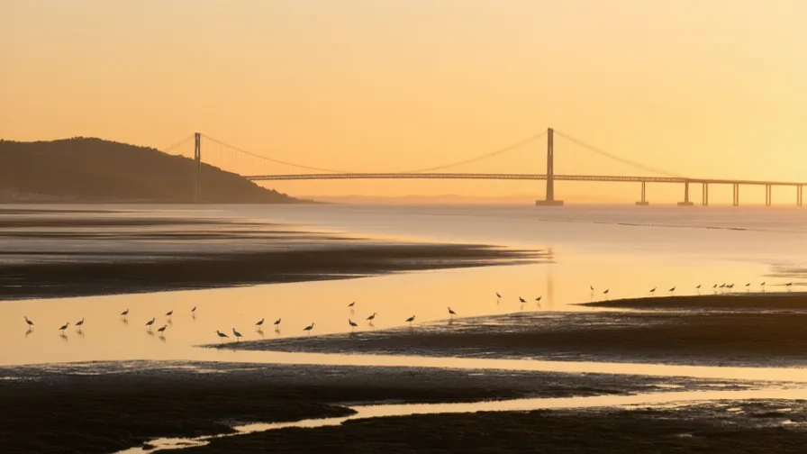 The Tagus Estuary · AI landscape illustration · Artistic impression
- Latin AmericaValley of MexicoA high closed basin, once holding a system of shallow lakes, now filled by Mexico City's metropolitan area.
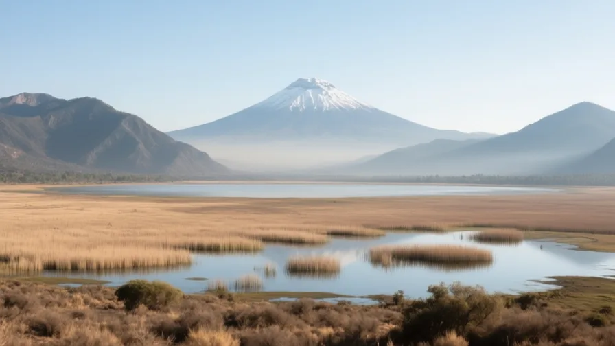 Valley of Mexico · AI landscape illustration · Artistic impression
Cities
- Middle EastAmmanAmman sits on hills at the edge of the Jordanian plateau, around 800 to 1,100 metres up, where the cultivated highlands give way eastward to desert.
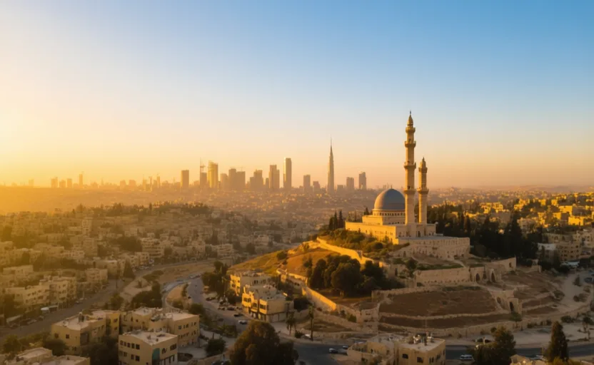 Amman · AI city illustration · Artistic impression
- AfricaCairoCairo sits at the point where the Nile valley opens into the delta — the hinge of Egypt, with the narrow valley upstream and the fan of cultivated land downstream.
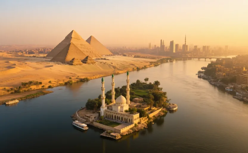 Cairo · AI city illustration · Artistic impression
- AfricaCape TownCape Town sits between Table Mountain and Table Bay, on a narrow strip between mountain and sea at the north end of the Cape Peninsula.
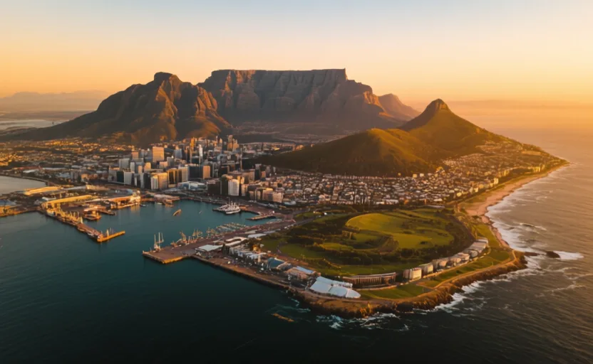 Cape Town · AI city illustration · Artistic impression
- South AsiaDhakaDhaka stands on the Buriganga, a channel of the lower Ganges–Brahmaputra system, near the middle of the Bengal delta.
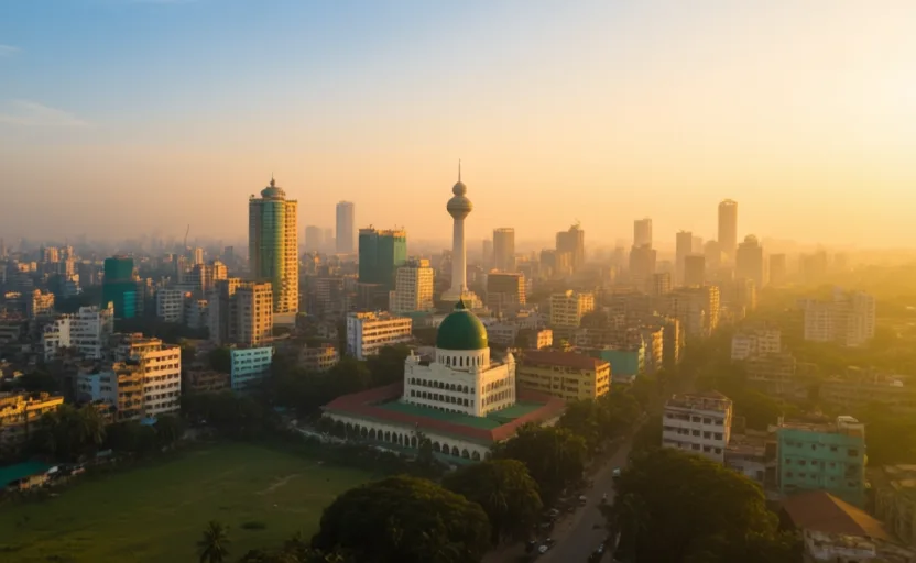 Dhaka · AI city illustration · Artistic impression
- Southeast AsiaHanoiHanoi sits on the right bank of the Red River, on the delta the river built, about a hundred kilometres inland from the Gulf of Tonkin.
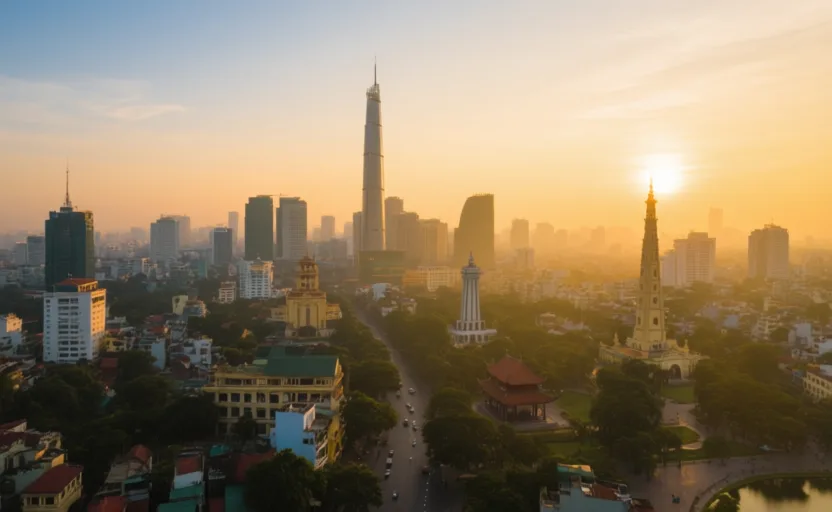 Hanoi · AI city illustration · Artistic impression
- EuropeIstanbulIstanbul sits on both sides of the Bosphorus, the only sea passage between the Black Sea and the Mediterranean.
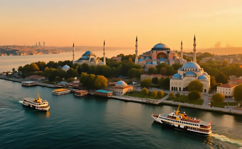 Istanbul · AI city illustration · Artistic impression
- South AsiaKolkataKolkata stands on the east bank of the Hooghly, a western distributary of the Ganges, about 150 kilometres inland from the Bay of Bengal in the Bengal delta.
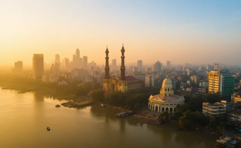 Kolkata · AI city illustration · Artistic impression
- EuropeLisbonLisbon stands on the north bank of the Tagus where the river widens into a broad basin — the Mar da Palha, the sea of straw — before narrowing to meet the Atlantic.
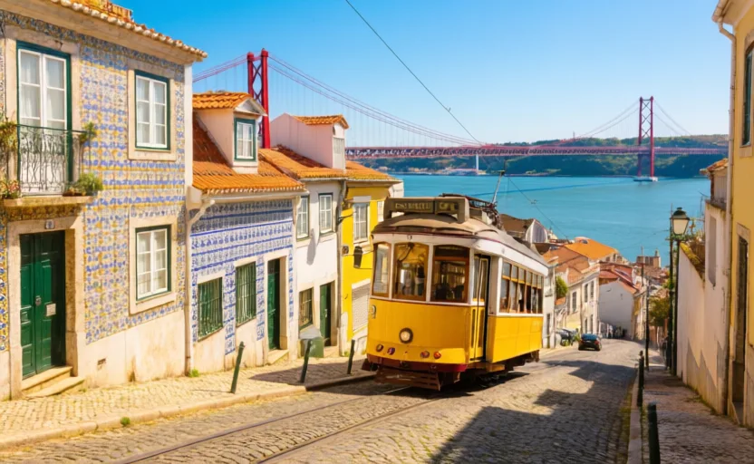 Lisbon · AI city illustration · Artistic impression
- North AmericaNew OrleansNew Orleans sits on the lower Mississippi about 160 kilometres from the Gulf, on a crescent of the river, with Lake Pontchartrain to the north.
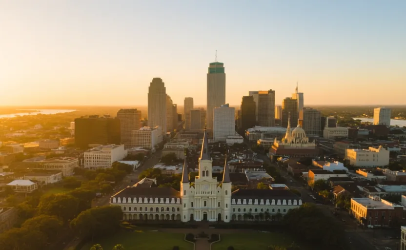 New Orleans · AI city illustration · Artistic impression
- Southeast AsiaSingaporeSingapore is an island at the southern tip of the Malay Peninsula, at the narrow end of the Strait of Malacca where it meets the South China Sea.
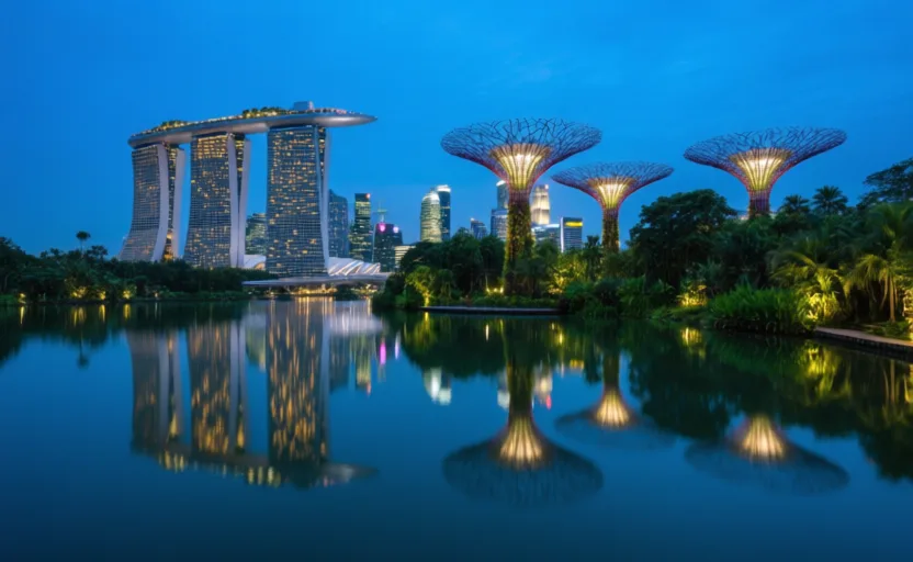 Singapore · AI city illustration · Artistic impression
- EuropeVeniceVenice is built in a shallow lagoon at the head of the Adriatic, behind a line of barrier islands that separate it from the open sea.
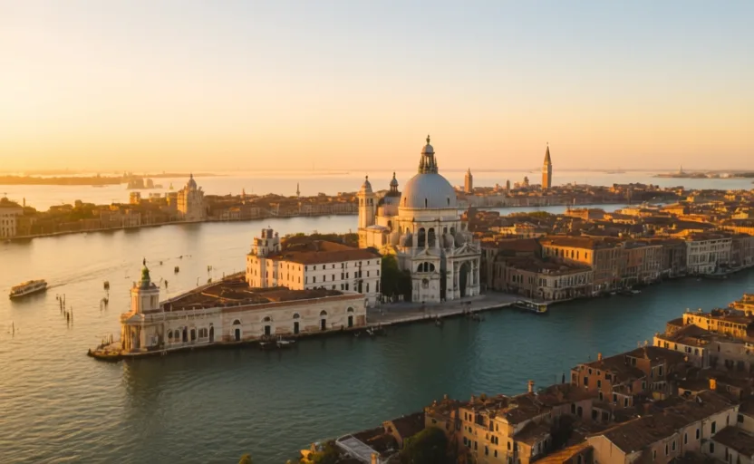 Venice · AI city illustration · Artistic impression
The other 582 places are on the globe without a full entry yet. We leave them unwritten rather than generate one; each gets a page here once it has been researched and sourced.