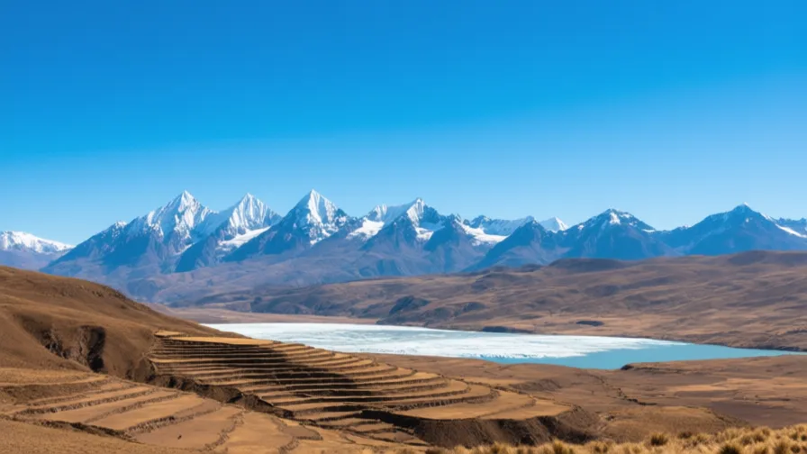
 The Andes · AI landscape illustration · Artistic impression
Natural feature · Latin America
The Andes
Also known as Cordillera de los Andes, Anti
The longest continental mountain range on Earth, running the length of western South America.
Saved in this browser — no account needed. Sign in later and it comes with you.
Where it is
The Andes run the length of western South America, from the Caribbean coast of Colombia and Venezuela to Tierra del Fuego — the longest continental mountain range on Earth, and the second highest after the Himalaya. They are the product of the Nazca plate sliding beneath the South American plate, which is also why the range is volcanic and seismically active along most of its length. The important consequence for people is vertical: within a few tens of kilometres, and a few thousand metres, you can pass from coastal desert through temperate valleys to high grassland to permanent ice.
The land and water around it
The altiplanoplateau
A high plateau between the range's eastern and western cordilleras in southern Peru, Bolivia, Chile and Argentina, mostly above 3,500 metres. Cold, dry and treeless, it supports herding and hardy tubers rather than maize, and it holds Lake Titicaca.
The Atacamadesert
The coastal desert west of the range, among the driest places on Earth precisely because the Andes block moisture from the Amazon side. The mountains and the desert are one system.
The Urubamba valleyriver
A deep valley north-west of Cusco cutting from the highlands toward the Amazon basin. Its lower altitude and warmer climate made it agriculturally valuable, and Machu Picchu sits on a ridge above it.
Its history, in short
Andean societies organised themselves around that verticality rather than against it, farming several altitude bands at once so that a failure in one did not mean famine. The Inca state, in the fifteenth century, ran a very large territory across this terrain with a road network built for runners and llamas rather than wheels, and kept its records on knotted cords. Spanish conquest from 1532 arrived during an Inca civil war and after introduced epidemics had already killed enormous numbers of people, and rebuilt the political geography around silver — above all Potosí — and around a new coastal capital facing the sea route to Spain.
Timeline
Dates are shown on a timeline rather than as changing shapes on the map. The globe draws modern boundaries only, and tinting a modern outline to stand for a historical one would state something we cannot source.
First cities & states
c. 3000 BCE onward
Monumental building on the coast and in the highlands
Large ceremonial complexes appear in the Andean region among the earliest anywhere in the Americas. Dating rests on excavation and radiocarbon and is given as a range.
Approximate dateUNESCO World Heritage Centre
Post-classical world
15th–16th centuries
The Inca state expands from Cusco
Tawantinsuyu grows to cover a long strip of western South America, connected by a road network with waystations, suspension bridges and relay runners, and administered using khipu records.
Early modern & oceanic
1532
Spanish forces arrive during a succession war
The conquest takes place amid an Inca civil war and after introduced epidemics have already caused enormous mortality. Both conditions preceded the arrival and shaped what followed.
Well attestedUNESCO World Heritage Centre1535
Lima is founded on the coast
The colonial capital is placed on the coastal plain to face the sea route to Spain, moving political weight off the mountains for the first time.
Well attestedUNESCO World Heritage Centre1545 onward
Potosí
Silver mining begins at Cerro Rico in the Bolivian highlands on a scale that reshapes global money supply. It ran on forced Indigenous labour under the mit'a system and on enslaved Africans, at enormous human cost.
Well attestedUNESCO World Heritage Centre
Industrial & imperial
1911
Machu Picchu brought to international attention
Hiram Bingham's expedition publicises the site, which was known locally and never 'lost' in the sense the phrase implies. Objects removed to Yale were the subject of a long dispute and were returned to Peru from 2011.
Well attestedUNESCO World Heritage Centre
Places that carry meaning
CuscoPre-15th century onward
The Inca administrative centre, rebuilt after the conquest with colonial churches and houses raised directly on Inca foundations. The masonry is visible at the base of many buildings — conquest recorded in a wall rather than in a document.
Machu Picchu15th century
A settlement on a ridge above the Urubamba, with fitted stonework and agricultural terracing. Its purpose is interpreted rather than known; a royal estate is the most widely held reading.
The site's function — royal estate, religious centre, or a combination — is inferred from architecture, burials and Spanish-era documents. Specialists differ; the royal-estate interpretation is the most widely held rather than the settled one.
Languages here
Places are usually multilingual. This lists what is actually spoken, not one language per border.
QuechuaQuechuan family
The largest Indigenous language family of the Americas by speakers, across Peru, Bolivia, Ecuador and beyond.
Often spoken of as one language; it is a family whose varieties are not all mutually intelligible. It has official status in Peru and Bolivia, and its speakers have faced sustained pressure to shift to Spanish.
AymaraAymaran family
Spoken around Lake Titicaca and across the altiplano in Bolivia and Peru.
A separate family from Quechua despite long contact and much shared vocabulary — a good example of why shared words are weak evidence of shared descent.
SpanishRomance family
The dominant public language across the Andean republics.
Andean Spanish carries substantial Quechua and Aymara influence in vocabulary and structure, and is frequently stigmatised for exactly that.
Learn the language here
Check yourself
What is the Andean strategy of farming several altitude bands at once?
An insurance system: a failure in one zone does not mean famine
Holding fields and herds at different altitudes spreads risk across climates that fail independently.
Why were Inca roads not built for wheeled vehicles?
Stairways, switchbacks and the absence of draught animals made runners and llamas the better system
Wheeled forms are known from Mesoamerican objects. In this terrain, with no draught animals, wheels solve nothing.
Worth arguing about
- 'No wheels, no writing' is often used to rank societies. What does the Andean case suggest about that habit?
- Machu Picchu was never lost to the people living near it. Who is 'discovery' a discovery for?
What we have not established
These are open questions, listed rather than filled in. We would rather show a gap than a plausible guess.
Do any khipu encode narrative or language rather than numbers?
The numerical use is well established. Whether some khipu record narrative is an active research question with credible work on both sides and no consensus. We report the disagreement rather than resolving it.
What was the population of the Inca state at its height?
Estimates vary by a factor of several, because they rest on colonial tribute records compiled after catastrophic epidemic mortality had already occurred. Any single figure would imply a precision the sources cannot support.
Sources
- UNESCO · City of CuzcoUNESCO World Heritage Centre · intergovernmental · checked 2026-09-08
- UNESCO · Historic Sanctuary of Machu PicchuUNESCO World Heritage Centre · intergovernmental · checked 2026-09-08
- UNESCO · Historic Centre of LimaUNESCO World Heritage Centre · intergovernmental · checked 2026-09-08
- Britannica · Atacama DesertEncyclopædia Britannica · encyclopedia · checked 2026-09-08
Reviewed by Globe Quest editorial on 2026-09-08.
Related places
Themes: Mountains, deserts & islands, Indigenous & living cultures, Empires & independence, Trade & exchange