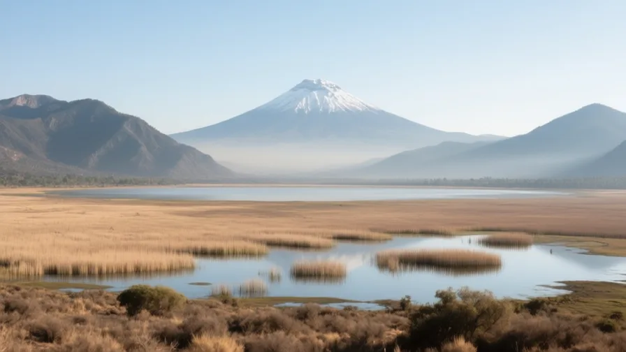
 Valley of Mexico · AI landscape illustration · Artistic impression
Natural feature · Latin America
Valley of Mexico
Also known as Valle de México, Anáhuac
A high closed basin, once holding a system of shallow lakes, now filled by Mexico City's metropolitan area.
Saved in this browser — no account needed. Sign in later and it comes with you.
Where it is
The Valley of Mexico is a high basin — around 2,200 metres — ringed by mountains and, crucially, closed: water that falls in it has no natural outlet to the sea. Historically it held a chain of shallow lakes, fresher in the south where springs and rainfall fed them and saltier in the north where evaporation concentrated them. That single hydrological fact runs through everything: how the Mexica built, why the Spanish city flooded, why four centuries were spent digging a way out, and why the ground is now sinking.
The land and water around it
The lake systemlake
Texcoco, Xochimilco, Chalco, Xaltocan and Zumpango: a connected chain rather than a single body, with a salinity gradient from south to north. Only fragments survive, at Xochimilco most visibly.
The surrounding sierrasmountains
Volcanic ranges enclosing the basin, including Popocatépetl and Iztaccíhuatl to the south-east. They are the reason the basin is closed and the reason it is seismically and volcanically active.
The lake-bed claysbasin
Soft, water-rich sediments beneath the modern city. They compact when the water is pumped out of them, and they amplify earthquake shaking — the same material behind both the subsidence and the 1985 damage.
Its history, in short
The basin has held large settlements for two thousand years. Teotihuacan, in an adjoining valley, was a planned city of substantial scale that was abandoned centuries before the Mexica arrived. Tenochtitlan, founded on an island in 1325, grew by building into the lake — causeways, an aqueduct, a dyke separating fresh water from salt, and chinampas raised from lake mud. After 1521 the Spanish city was built on the same site and repeatedly flooded, and the response was to give the closed basin an artificial outlet. It worked; the lakes largely went; and the bill arrived in the twentieth century as subsidence.
Timeline
Dates are shown on a timeline rather than as changing shapes on the map. The globe draws modern boundaries only, and tinting a modern outline to stand for a historical one would state something we cannot source.
Classical world
c. 1st–6th centuries
Teotihuacan
A large planned city north-east of the basin, laid out on a single axis, with apartment compounds and monumental pyramids. It is abandoned centuries before the Mexica arrive, and who its people were and what language they spoke are not settled.
DisputedUNESCO World Heritage CentreThe ethnic and linguistic identity of Teotihuacan's population is genuinely unresolved; several hypotheses are argued and none commands consensus.
Post-classical world
1325
Tenochtitlan founded
The Mexica establish a settlement on an island in Lake Texcoco. The traditional founding date comes from later Mexica accounts.
Approximate dateUNESCO World Heritage Centre
Early modern & oceanic
1521
The fall of Tenochtitlan
Spanish forces and a much larger body of Indigenous allies — above all Tlaxcalteca — take the city after a siege, following a smallpox epidemic that had already devastated it. The Spanish city is built directly on top.
Well attestedUNESCO World Heritage Centre1607 onward
The Desagüe begins
Work starts on cutting an artificial outlet through the hills to drain the closed basin, after repeated flooding of the colonial city. It is extended over centuries.
Well attestedUNESCO World Heritage Centre
Industrial & imperial
1900
The Grand Canal opens
A nineteenth-century drainage scheme is completed, substantially lowering the remaining lakes. Deep drainage tunnels follow in the twentieth century as subsidence flattens the canal's gradient.
Well attestedUNESCO World Heritage Centre
Contemporary
1985
The earthquake
A major earthquake off the Pacific coast causes severe damage in the city, hundreds of kilometres away, because the soft lake-bed sediments amplified and prolonged the shaking. The geology that made the basin habitable made the disaster worse.
Well attestedUNESCO World Heritage Centre
Places that carry meaning
Templo Mayor14th–16th centuries
The main temple precinct of Tenochtitlan, rebuilt in successive enlargements and excavated beneath the centre of the modern city from 1978. Each rebuilding encased the last, so the structure is a stack of its own history.
XochimilcoPre-Hispanic to present
The surviving chinampa landscape in the basin's south — raised beds built from lake mud and still farmed. It is the only place the pre-drainage relationship with the water is still legible on the ground.
Teotihuacanc. 1st–6th centuries
A planned city on a scale that required organised labour and long-distance exchange, abandoned long before the Mexica, who gave it the name it is known by and treated it as an ancient place.
Languages here
Places are usually multilingual. This lists what is actually spoken, not one language per border.
SpanishRomance family
The dominant language of the basin today.
Mexican Spanish carries a large Nahuatl vocabulary, much of which travelled onward into other languages — chocolate, tomato, avocado, chilli.
NahuatlUto-Aztecan family
The Mexica language, still spoken by well over a million people across Mexico.
Not a historical language. Nahuatl has substantial living speech communities, several distinct varieties, official recognition in Mexico, and a documentary tradition in Latin script running from the sixteenth century.
OtomíOto-Manguean family
Spoken in the basin and states around it.
One of several Indigenous languages of the region other than Nahuatl, and a reminder that the basin was multilingual before the conquest as well as after.
Learn the language here
Check yourself
What makes the Valley of Mexico a closed basin?
Water entering it has no natural outlet to the sea
Water accumulates and leaves mainly by evaporation, which is why the basin held lakes and why draining it required cutting an outlet.
How does pumping groundwater make flooding worse?
It compacts the lake-bed clays, so the surface sinks and drainage loses its gradient
Subsidence flattens or reverses the drainage designed to run downhill, and breaks the pipes, which leak and increase demand.
Worth arguing about
- Tenochtitlan lived with the lake; the modern city removed it. Was the drainage a mistake, or a reasonable choice with a very long bill?
- The soft ground that made the basin habitable amplified the 1985 earthquake. How should a city weigh a hazard that is inseparable from its advantages?
What we have not established
These are open questions, listed rather than filled in. We would rather show a gap than a plausible guess.
How much has central Mexico City subsided, and how fast is it still sinking?
Subsidence is very uneven across the city and measurements use different baselines and instruments, so a single citywide figure would be misleading. We describe the mechanism rather than quoting metres.
What was Tenochtitlan's population in 1519?
Estimates range widely and rest on Spanish accounts written by participants with reasons to exaggerate, plus archaeological area estimates with contested density assumptions.
Sources
- UNESCO · Historic Centre of Mexico City and XochimilcoUNESCO World Heritage Centre · intergovernmental · checked 2026-09-08
- UNESCO · Pre-Hispanic City of TeotihuacanUNESCO World Heritage Centre · intergovernmental · checked 2026-09-08
- NASA Earth Observatory · Relic Chinampas in Mexico CityNASA Earth Observatory · government · checked 2026-09-08
Reviewed by Globe Quest editorial on 2026-09-08.
Related places
Themes: Water & environment, How cities work, Indigenous & living cultures, Empires & independence