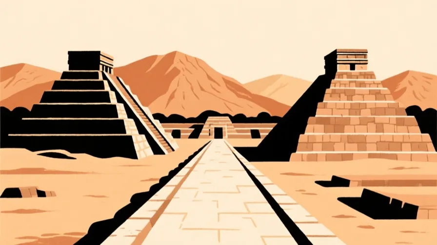
 Teotihuacan · AI illustration, not a photograph
Historical place · Latin America
Teotihuacan
Also known as Teōtīhuacān
A large planned city northeast of the Valley of Mexico, laid out on a single axis and abandoned centuries before the Mexica arrived.
Saved in this browser — no account needed. Sign in later and it comes with you.
Where it is
Teotihuacan lies in a valley adjoining the Valley of Mexico, about 40 kilometres north-east of the modern city centre, at roughly 2,300 metres. The site is laid out on a single axis some fifteen degrees east of north — the Avenue of the Dead — with the Pyramid of the Sun on its eastern side, the Pyramid of the Moon closing its northern end, and a grid of apartment compounds extending for kilometres around them. The valley has springs and obsidian, and both mattered.
The land and water around it
The Teotihuacan valleybasin
A side valley of the Basin of Mexico with springs supporting irrigation — enough water and enough farmland to feed a very large population in one place.
The obsidian sourcesvolcano
Volcanic glass deposits nearby, including Pachuca's distinctive green obsidian. Teotihuacan obsidian is found across Mesoamerica, which is how the city's reach is traced.
The San Juan riverriver
A small river that the builders canalised and made to conform to the city's grid, which tells you how seriously the plan was taken.
Its history, in short
Teotihuacan grew from the first century CE into one of the largest cities in the world of its time, then declined and was substantially burned in the sixth or seventh century — before the Mexica existed. When the Mexica encountered the ruins centuries later they gave them the Nahuatl name we still use and treated the place as ancient and significant, which it already was. Almost everything about the people who built it is unresolved, including what language they spoke, and there is no evidence of a single named ruler in its art at all.
Timeline
Dates are shown on a timeline rather than as changing shapes on the map. The globe draws modern boundaries only, and tinting a modern outline to stand for a historical one would state something we cannot source.
Classical world
c. 1st century CE
The plan is laid out
The Avenue of the Dead and the major pyramids are established on a single orientation, and the city grows around that axis rather than the axis emerging from the city.
Approximate dateUNESCO World Heritage Centrec. 3rd–6th centuries
At its height
The city reaches its greatest extent, with multi-family apartment compounds housing a large and demonstrably diverse population, including quarters associated with people from Oaxaca and the Maya region.
Well attestedUNESCO World Heritage Centre
Post-classical world
c. 6th–7th centuries
Burning and decline
Major structures along the central avenue are burned. Whether this was invasion, internal revolt or a deliberate ritual termination is argued; the selectivity of the burning — concentrated on elite and civic buildings — is often read as favouring an internal cause.
DisputedUNESCO World Heritage CentreInvasion, internal uprising and ritual closure are all advanced by specialists. The pattern of burning is agreed; its cause is not.
15th century
The Mexica name it
The Mexica, arriving in the basin centuries after the city was abandoned, treat the ruins as an ancient and sacred place and give them the Nahuatl name by which they are still known.
Contemporary
1987
Inscribed as World Heritage
The site is inscribed. Excavation continues, including tunnels beneath the Feathered Serpent Pyramid explored from 2003 that found offerings and burials.
Well attestedUNESCO World Heritage Centre
Places that carry meaning
The Pyramid of the Sun1st–2nd centuries CE
The largest structure on the site, built over a cave or tunnel that appears to have been part of why the location was chosen.
The apartment compounds3rd–6th centuries
Walled multi-family residential blocks with internal courtyards, laid out on the grid. Housing at this scale and standardisation is unusual anywhere in the ancient world and is the strongest evidence for how the city was organised.
The Feathered Serpent Pyramidc. 200 CE
Carved with feathered serpent heads, and associated with a large number of sacrificial burials of individuals dressed as warriors — one of the few places the city's iconography addresses violence directly.
Languages here
Places are usually multilingual. This lists what is actually spoken, not one language per border.
The language of TeotihuacanUnknown family
Unknown.
No decipherable writing survives that identifies it. Nahuatl, Totonac, Otomí and Mixe-Zoque have all been proposed on indirect evidence. This is a genuine unknown, not a gap in the summary.
NahuatlUto-Aztecan family
The language that named the site, centuries after it was abandoned.
'Teotihuacan', 'Avenue of the Dead' and the pyramid names are all Mexica descriptions of ruins they inherited, not the builders' own words.
SpanishRomance family
The public language of the region today.
The language of the site's interpretation and of most published research on it.
Learn the language here
Check yourself
Who named Teotihuacan?
The Mexica, centuries after it was abandoned
Every familiar name at the site is a Nahuatl description of ruins the Mexica inherited.
What is conspicuously absent from Teotihuacan's art?
Named individual rulers
Unlike Maya cities, Teotihuacan's imagery does not celebrate named rulers, which is central to arguments about how it was governed.
Worth arguing about
- A city of this size with no named rulers in its art. What might that mean, and what would count as evidence either way?
- Everything we call this place is a later people's word for somebody else's ruins. How much does a name shape what we think a place was?
What we have not established
These are open questions, listed rather than filled in. We would rather show a gap than a plausible guess.
What language did Teotihuacan's people speak?
Unknown. No decipherable writing identifies it, and proposals rest on indirect evidence such as later place names and linguistic borrowing. This may not be answerable from the surviving material.
What was the city's population at its height?
Estimates commonly range between about 100,000 and 200,000, resting on compound counts and assumed occupancy. The range is wide enough that quoting a single figure would overstate what is known.
Sources
- UNESCO · Pre-Hispanic City of TeotihuacanUNESCO World Heritage Centre · intergovernmental · checked 2026-09-08
- UNESCO · Historic Centre of Mexico City and XochimilcoUNESCO World Heritage Centre · intergovernmental · checked 2026-09-08
Reviewed by Globe Quest editorial on 2026-09-08.
Related places
Themes: How cities work, Religion & pilgrimage, Indigenous & living cultures