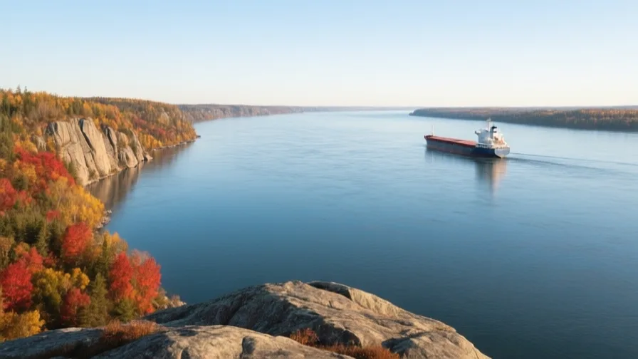
 The St Lawrence · AI landscape illustration · Artistic impression
Natural feature · North America
The St Lawrence
Also known as Fleuve Saint-Laurent, Kaniatarowanenneh
The river and estuary connecting the Great Lakes to the Atlantic, and the route Europeans used to reach the North American interior.
Saved in this browser — no account needed. Sign in later and it comes with you.
Where it is
The St Lawrence drains the Great Lakes — about a fifth of the world's surface fresh water — into the Atlantic through a valley between the Canadian Shield to the north and the Appalachians to the south. It is a river, then a tidal estuary, then a gulf, and the transition is gradual: salt water reaches far inland and the estuary is wide enough at its mouth to be a sea. It is also a fault-bounded valley, and it produces earthquakes that surprise people who assume eastern North America is geologically quiet.
The land and water around it
The estuary and gulfgulf
The river widens into a tidal estuary and then a gulf open to the Atlantic. Its scale means fog, ice and strong tides, and its deep channel brings whales far upstream — belugas live in it year-round.
The Lachine rapidsriver
Rapids above Montréal that stopped ocean-going ships. The city is where it is because cargo had to be moved around them, which is how a portage becomes a metropolis.
The Charlevoix craterbasin
A large ancient impact structure on the north shore. It is now one of the most seismically active zones in eastern Canada — an old scar that stayed a weakness.
Its history, in short
This was the route into the continent. The Haudenosaunee and other Iroquoian-speaking peoples had towns along it before Jacques Cartier sailed up it in 1535, and the name Canada comes from a word for village he recorded there. French settlement followed the river — Québec at the narrows, Montréal at the rapids that stopped ships — and the fur trade ran up it and along the lakes beyond. Britain took the colony in 1763, and the river then carried the immigration that built industrial Canada, including the quarantine station at Grosse-Île that many did not survive. In the twentieth century the Seaway was cut to let ocean ships reach the lakes, flooding communities and rapids to do it.
Timeline
Dates are shown on a timeline rather than as changing shapes on the map. The globe draws modern boundaries only, and tinting a modern outline to stand for a historical one would state something we cannot source.
Early modern & oceanic
1535
Cartier goes upriver
Jacques Cartier sails to the Iroquoian towns of Stadacona and Hochelaga. He records the word kanata, for village, which becomes the name of a country.
Well attestedEncyclopædia BritannicaLate 16th century
The St Lawrence Iroquoians disappear from the record
By the time the French return to settle, the towns Cartier described are gone. Warfare with neighbouring nations, epidemic disease and dispersal are all proposed; which combination it was is not established.
DisputedUNESCO World Heritage CentreThe disappearance of the St Lawrence Iroquoians is reconstructed from archaeology and from later Indigenous and French accounts, which do not agree on cause.
1608
Québec founded
Champlain establishes a post where the river narrows — the point that controls passage upstream, which is exactly why it was fortified and repeatedly fought over.
Well attestedUNESCO World Heritage Centre1759
The Plains of Abraham
British forces take Québec after a battle lasting well under an hour. New France passes to Britain in 1763, and the French-speaking population it left behind is the origin of modern Québec's distinct position.
Well attestedUNESCO World Heritage Centre
Industrial & imperial
1847
Grosse-Île
The quarantine island below Québec is overwhelmed during the mass emigration from Ireland. Thousands died there in a single season, and the island is now a memorial as well as a historic site.
Well attestedEncyclopædia Britannica
Contemporary
1954–1959
The Seaway
Canada and the United States build locks and canals letting ocean vessels reach the Great Lakes. Flooding for the project submerged villages and farms; about 6,500 people were moved, in what is remembered locally as the Lost Villages.
Well attestedEncyclopædia Britannica1988 onward
Ballast water and what came with it
Zebra mussels and other species arrive in ships' ballast and spread through the lakes, altering the ecosystem substantially. The Seaway carried more than cargo, and reversing it has not proved possible.
Well attestedEncyclopædia Britannica
Places that carry meaning
Old Québec17th century onward
The only walled city north of Mexico, on the cliff above the narrows. Inscribed as World Heritage in 1985.
Montréal1642 onward
Founded above the rapids, and the head of ocean navigation before the Seaway. Its position made it the transfer point between river and interior for three centuries.
The Saguenay fjordContinuous
A deep glacial fjord joining the estuary from the north. Cold, deep water rises where it meets the river, concentrating food and drawing whales — which is why whale watching happens where it does.
Languages here
Places are usually multilingual. This lists what is actually spoken, not one language per border.
FrenchRomance family
The majority language of Québec, and the river's first European language.
Québec French descends from the varieties spoken by settlers before 1763 and then developed apart from France for two centuries. Its legal protection — the Charter of the French Language — is a direct response to the demographic position of a French-speaking society inside an English-speaking continent.
EnglishGermanic family
The majority language of the wider basin.
Dominant in Ontario and on the American shore, and a minority language in Québec, where the relationship between the two has structured provincial politics for fifty years.
Kanien'kéhaIroquoian family
Mohawk, spoken in communities along the river including Kahnawà:ke and Akwesasne.
The river's name in Kanien'kéha, Kaniatarowanenneh, means roughly the big waterway. The language is severely endangered and the subject of long-running immersion schooling built by the communities themselves.
Learn the language here
Check yourself
Why is Montréal where it is?
Rapids stopped ocean ships there, so cargo had to be transferred
A portage becomes a transfer point becomes a city. Québec, by contrast, is at the narrows.
What did the Seaway bring besides cargo?
Invasive species in ballast water, including zebra mussels
The ecosystem change has not proved reversible — an infrastructure decision with a biological cost nobody priced.
Worth arguing about
- Six and a half thousand people were moved so ships could reach the lakes. How should a country account for that afterwards?
- A French-speaking society of eight million inside an English-speaking continent of four hundred million. What does it take to keep a language?
What we have not established
These are open questions, listed rather than filled in. We would rather show a gap than a plausible guess.
What happened to the St Lawrence Iroquoians?
The towns Cartier described were gone within two generations, and warfare, epidemic disease and dispersal are all proposed. The archaeological and documentary records do not settle it, and Indigenous and French accounts differ.
Sources
- Britannica · Saint Lawrence RiverEncyclopædia Britannica · encyclopedia · checked 2026-09-08
- UNESCO · Historic District of Old QuébecUNESCO World Heritage Centre · intergovernmental · checked 2026-09-08
Reviewed by Globe Quest editorial on 2026-09-08.
Related places
Themes: Rivers & cities, Trade & exchange, Migration & diaspora, Languages & contact