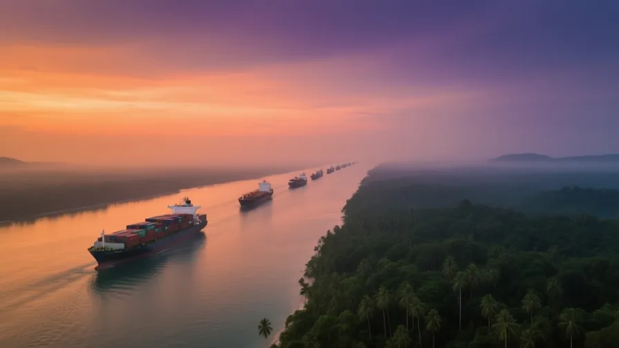
 Strait of Malacca · AI landscape illustration · Artistic impression
Natural feature · Southeast Asia
Strait of Malacca
Also known as Selat Melaka
The narrow sea passage between Sumatra and the Malay Peninsula, on the shortest route between the Indian Ocean and the South China Sea.
Saved in this browser — no account needed. Sign in later and it comes with you.
Where it is
The Strait of Malacca runs roughly 800 kilometres between the Indonesian island of Sumatra and the Malay Peninsula, connecting the Indian Ocean to the South China Sea. It narrows toward its south-eastern end, where the Phillips Channel near Singapore has a navigable width of about 2.7 kilometres and is shallow enough to constrain the largest vessels. Indonesia, Malaysia and Singapore border it. The alternatives — the Sunda and Lombok straits through the Indonesian archipelago — are considerably longer.
The land and water around it
The Malay Peninsulaplateau
The strait's eastern shore, whose ports — Melaka, Penang, Port Klang, and Singapore at its tip — have taken turns as the dominant entrepôt.
Sumatraisland
The western shore. Sumatran polities, Srivijaya above all, controlled or contested the passage in earlier centuries from the other side.
The Phillips Channelstrait
The narrowest navigable section, near Singapore. Concentration plus constriction is what makes this a chokepoint rather than merely a busy route.
Its history, in short
Because the strait is the short way between two oceans, the ports along it have been valuable for as long as ships have used the route, and control of them has changed hands repeatedly: Srivijaya from Sumatra, the Melaka Sultanate, then Portuguese, Dutch and British seizures, then independent states. What has never changed is that shipping keeps using the strait, so whichever port serves it best captures the traffic. Every dominant port here has eventually been displaced, and none was displaced because the strait stopped mattering.
Timeline
Dates are shown on a timeline rather than as changing shapes on the map. The globe draws modern boundaries only, and tinting a modern outline to stand for a historical one would state something we cannot source.
Post-classical world
7th century onward
Srivijaya controls the passage
A Sumatra-based maritime polity dominates the strait and the trade through it for several centuries, from the western shore rather than the eastern one.
Approximate dateUNESCO World Heritage Centrec. 1400
The Melaka Sultanate
Melaka is founded and grows into the region's principal entrepôt, taxing and servicing shipping through the strait.
Approximate dateUNESCO World Heritage Centre
Early modern & oceanic
1511
Portugal takes Melaka
The first of several European seizures of the port, motivated by exactly what the sultanate valued it for. The Dutch take it in 1641 and the British later.
Well attestedUNESCO World Heritage Centre1786
George Town founded on Penang
Britain establishes a settlement at the strait's northern end — a move in a competition for the passage rather than for territory.
Well attestedUNESCO World Heritage Centre
Industrial & imperial
1819
Singapore established as a trading post
A settlement at the southern tip, where the passage meets the South China Sea. It becomes the dominant port and remains so.
Well attestedUNESCO World Heritage Centre
Contemporary
2008
Melaka and George Town inscribed
The two historic port cities are inscribed together as a serial World Heritage property recognising the multicultural trading towns the strait produced.
Well attestedUNESCO World Heritage Centre2025
The world's largest oil chokepoint
The US Energy Information Administration estimates 23.2 million barrels a day of oil flowed through the strait in the first half of 2025 — about 29% of all maritime oil flows, and the largest volume of any chokepoint on Earth. Crude is usually a little over 70% of that, products the rest.
Well attestedU.S. Energy Information Administration
Places that carry meaning
George Town, Penang1786 onward
Surviving shophouse streets, clan houses, mosques and temples record the mixed communities the strait trade assembled — Chinese, Malay, Tamil, Arab, European — in one street plan.
Singapore1819 onward
At the pinch point. Its economy rests on handling, refining, financing and re-exporting goods that originate and end elsewhere, which produces both the wealth and the exposure.
Languages here
Places are usually multilingual. This lists what is actually spoken, not one language per border.
MalayAustronesian family
The historic lingua franca of the strait and a national language of three bordering states.
Malay served as a trade language across maritime Southeast Asia long before any state made it official, which is why its modern standards in Malaysia, Indonesia and Brunei are so close.
Hokkien and other southern Chinese varietiesSinitic family
Community languages of long-established Chinese populations in the strait ports.
Centuries of migration produced communities such as the Peranakan, whose language and culture mix Chinese and Malay elements and belong to neither category cleanly.
TamilDravidian family
A community language in several strait ports and one of Singapore's four official languages.
South Indian trading and later plantation-labour migration established Tamil-speaking communities along the strait over a long period.
EnglishGermanic family
The working language of administration and business in Singapore and widely used in Malaysia.
Chosen partly because it belonged to no local community in particular. Language policy in a multilingual state is a political settlement, not a neutral default.
Learn the language here
Check yourself
Why is the strait considered a chokepoint?
It is the short route between two oceans and narrows to a few kilometres at one end
Alternatives exist but are much longer, and the passage constricts near Singapore.
What has changed most across the strait's history?
Which port captures the traffic
The route's value has been constant; the dominant port has changed hands many times.
Worth arguing about
- Three countries border the strait and the world's shipping uses it. Who should pay for its safety and policing?
- Every dominant port here was eventually displaced. What would displace the current one?
What we have not established
These are open questions, listed rather than filled in. We would rather show a gap than a plausible guess.
What share of world seaborne trade — not just oil — transits the strait?
The oil share is sourced above and is specific. The commonly repeated 'about a quarter of world trade' has no institutional source we could find: UNCTAD's Review of Maritime Transport 2024, whose own subtitle is about maritime chokepoints, contains no Strait of Malacca figure at all. We give the oil figure, which is real, and decline the broader one, which is not.
How many vessels transit the strait each year?
A Marine Electronic Highway project portal publishes a series running to 2022 (82,819 vessels that year). The much-quoted 2024 figure traces to trade press citing Malaysian Marine Department data rather than to a published statistical series. STRAITREP is run jointly by Malaysia and Singapore but we found no accessible annual series from either.
Sources
- UNESCO · Melaka and George Town, Historic Cities of the Straits of MalaccaUNESCO World Heritage Centre · intergovernmental · checked 2026-09-08
- UNESCO · Borobudur Temple CompoundsUNESCO World Heritage Centre · intergovernmental · checked 2026-09-08
- World Oil Transit ChokepointsU.S. Energy Information Administration · government · checked 2026-09-08
Reviewed by Globe Quest editorial on 2026-09-08.
Related places
Themes: Seas & navigation, Trade & exchange, Languages & contact