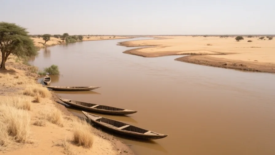
 The Niger · AI landscape illustration · Artistic impression
Natural feature · Africa
The Niger
Also known as Joliba, Isa Ber, Kwara
West Africa's principal river, whose great northward bend brings water to the desert's southern edge.
Saved in this browser — no account needed. Sign in later and it comes with you.
Where it is
The Niger rises in the Guinea highlands only a couple of hundred kilometres from the Atlantic, and then does the opposite of what that suggests: it runs inland, north-east, into the southern Sahara, before turning south-east and finally reaching the Gulf of Guinea through a large delta in Nigeria. That arc is roughly 4,200 kilometres long to cover a straight-line distance a fraction of that. Along the way it spreads into the Inner Niger Delta in Mali — a seasonal floodplain the size of a small country — and passes within a few kilometres of Timbuktu at the top of its bend.
The land and water around it
Inner Niger Deltadelta
A vast inland floodplain in Mali where the river spreads out and slows before reforming into a single channel. It floods seasonally, and three livelihoods are timed to that flood in sequence: recession farming as the water drops, grazing on the exposed pasture, and fishing in the remaining channels. Change the flood and you change all three at once.
The Sahara's southern margindesert
The river's northern bend brings permanent water within reach of the desert. Everything about Timbuktu's position follows from that single fact of geography.
The Niger Deltadelta
The river's true mouth, on the Nigerian coast — a large network of distributaries and mangrove, and the centre of Nigeria's oil industry. It shares a name with the inland delta upstream and is a completely different place.
Its history, in short
The river's shape puzzled European geographers for centuries, because a river running toward a desert reads as a mistake. It is not: the arc is the inherited course of two once-separate river systems that joined, and it is the reason West Africa had a navigable highway reaching the desert's edge. Towns at the transfer points between water and camel — Djenné upstream, Timbuktu at the bend — grew on that geography. In the modern period the same water became an engineering question: dams for power and irrigation upstream, a floodplain whose flood the delta's farmers, herders and fishers all depend on, and a dispute about who the water is for.
Timeline
Dates are shown on a timeline rather than as changing shapes on the map. The globe draws modern boundaries only, and tinting a modern outline to stand for a historical one would state something we cannot source.
Classical world
c. 3rd century BCE onward
Settlement at Djenné-Djenno
Urban settlement develops in the Inner Niger Delta at Djenné-Djenno, before and independently of trans-Saharan trade. Dating rests on excavation and is given as a range.
Approximate dateUNESCO World Heritage Centre
Post-classical world
13th–16th centuries
River towns and desert trade
Djenné and Timbuktu prosper as the transfer points between river craft and camel caravan under successive Mali and Songhay authority.
Early modern & oceanic
1796
Mungo Park reaches the river
A Scottish expedition reaches the Niger and reports that it flows eastward — settling, for European geography, a question African traders had never needed to ask.
Well attestedUNESCO World Heritage Centre
Contemporary
1982
The Sélingué dam
A dam on the Sankarani tributary in Mali begins regulating flow upstream of the inland delta, the first of several works that alter the timing and size of the annual flood.
Well attestedEncyclopædia Britannica2012
Conflict reaches the bend
Armed groups occupy northern Mali including Timbuktu. The river towns' heritage, trade and administration are all disrupted; UNESCO places Timbuktu on the List of World Heritage in Danger.
Well attestedUNESCO World Heritage Centre
Places that carry meaning
Timbuktu12th century onward
A few kilometres north of the river at the top of its bend, where boats and camels exchange cargo. The town's scholarly reputation is downstream of that commercial position, not separate from it.
DjennéFirst millennium onward
The river end of the same system, in the inland delta. Its Great Mosque is re-plastered communally each year, which makes the building's continuity a social practice rather than a conservation programme.
Languages here
Places are usually multilingual. This lists what is actually spoken, not one language per border.
BambaraMande family
The most widely spoken language along the Malian reach, and a lingua franca well beyond its first-language community.
Bambara functions as the everyday language of much of Mali regardless of what people speak at home, which is a different thing from being the official language — that is French.
SonghaySonghay family
Spoken along the middle Niger, including at Timbuktu and Gao.
The language associated with the empire that controlled the bend in the fifteenth and sixteenth centuries, and still the everyday language of the river towns there.
FulfuldeAtlantic family
Spoken by Fulani herding communities across the inland delta and the wider Sahel.
The language of the pastoral half of the delta's economy, whose seasonal movements are timed to the flood alongside the farmers' and fishers'.
HausaChadic family
Dominant along the river's lower course and across northern Nigeria.
One of West Africa's largest languages by speakers, and a major trade language independent of any colonial administration.
Learn the language here
Check yourself
Why is the Niger's course surprising?
It rises near the Atlantic but first runs inland toward the Sahara
It rises in the Guinea highlands close to the Atlantic, arcs north-east toward the desert, then turns south to the Gulf of Guinea.
Why does changing the Inner Niger Delta's flood affect so many people?
Because three livelihoods — recession farming, grazing and fishing — are timed to it in sequence
Farming, herding and fishing each depend on a different stage of the same annual flood, so a change upstream reaches all three.
Worth arguing about
- Upstream dams give power and irrigation; the flood they moderate supports a floodplain economy downstream. How would you decide between them?
- The Niger Delta and the Inner Niger Delta share a name and nothing else. What other place names have you seen cause that kind of confusion?
What we have not established
These are open questions, listed rather than filled in. We would rather show a gap than a plausible guess.
How much has the Inner Niger Delta's flood extent changed since the 1980s?
Remote-sensing studies exist but report different baselines, wet/dry cycles and dam attributions. We have not identified a single authoritative series we could cite and re-check, so no trend figure is stated.
Sources
- UNESCO · TimbuktuUNESCO World Heritage Centre · intergovernmental · checked 2026-09-08
- UNESCO · Old Towns of DjennéUNESCO World Heritage Centre · intergovernmental · checked 2026-09-08
- NASA Earth Observatory · Inland Delta of the Niger RiverNASA Earth Observatory · government · checked 2026-09-08
- NASA Earth Observatory · Niger River Delta by NightNASA Earth Observatory · government · checked 2026-09-08
- Britannica · Niger RiverEncyclopædia Britannica · encyclopedia · checked 2026-09-08
- Britannica · Hausa languageEncyclopædia Britannica · encyclopedia · checked 2026-09-08
Reviewed by Globe Quest editorial on 2026-09-08.
Related places
Themes: Rivers & cities, Trade & exchange, Water & environment