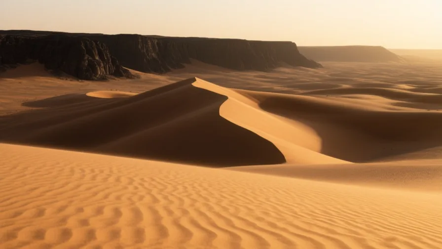
 The Sahara · AI landscape illustration · Artistic impression
Natural feature · Africa
The Sahara
Also known as aṣ-Ṣaḥrāʾ al-Kubrā, Tinariwen
The largest hot desert on Earth, crossed for centuries by caravan routes linking West Africa to the Mediterranean.
Saved in this browser — no account needed. Sign in later and it comes with you.
Where it is
The Sahara stretches across northern Africa from the Atlantic to the Red Sea, roughly the area of the United States and the largest hot desert on Earth. It is not uniform sand: most of it is rock plateau, gravel plain and mountain, with dune seas covering a minority of the surface. Rainfall is negligible over most of it, but water exists — in mountain massifs like the Ahaggar and Tibesti, in scattered oases, and in very large fossil aquifers beneath the sand that were filled when the region was wet.
The land and water around it
The ergsdesert
The great dune seas — the Grand Erg Oriental and Occidental, the Erg Chech — which are the image of the Sahara and a minority of its surface.
The Ahaggar and Tibesti massifsmountains
Volcanic highlands rising well above the surrounding plateau. They catch what rain there is, hold populations, and carry the rock art that records a wetter Sahara.
The Sahelplateau
The transitional belt along the desert's southern edge, where rainfall becomes just sufficient for cultivation. The desert's boundary here is not a line but a band that moves with the rains.
Its history, in short
The Sahara has not always been a desert. During the African Humid Period, roughly eleven to five thousand years ago, it held lakes, rivers, grassland and the herders and hunters who left rock art across the massifs. As it dried, populations concentrated along the Nile and at the margins, and the desert became a barrier — but a crossable one. Camel-based caravan trade from around the first millennium CE linked West African gold and Saharan salt to Mediterranean markets, and carried Islam, Arabic literacy and manuscripts along the same routes. Colonial borders were later drawn across it in straight lines that ignored who used which wells.
Timeline
Dates are shown on a timeline rather than as changing shapes on the map. The globe draws modern boundaries only, and tinting a modern outline to stand for a historical one would state something we cannot source.
First cities & states
c. 9000–3000 BCE
The African Humid Period
A wetter Sahara supports lakes, rivers, savanna, herding and hunting. Rock art across the massifs depicts cattle, giraffe and hippopotamus in what is now hyper-arid desert. The end of this period is gradual and its timing varies across the region.
Approximate dateEncyclopædia Britannica
Classical world
c. 3rd–5th centuries CE
The camel changes the arithmetic
The dromedary comes into widespread use in North Africa, making sustained crossings practical in a way that horses and oxen never made them. Regular trans-Saharan trade follows rather than precedes this.
Approximate dateUNESCO World Heritage Centre
Post-classical world
11th–16th centuries
Salt south, gold north
Caravan trade links West African gold fields to Mediterranean markets, carrying rock salt cut at desert mines in the other direction, together with cloth, books, enslaved people and Islamic scholarship. Timbuktu and Djenné grow on the exchange.
Industrial & imperial
1884–85
Borders drawn through it
European powers partition Africa at the Berlin Conference. Saharan boundaries are drawn as straight lines across territory whose usable resource is scattered wells and grazing, cutting routes and communities that had used both.
Well attestedUNESCO World Heritage Centre
Contemporary
1960 onward
Independence, and a desert nobody governs easily
Saharan states inherit those borders. Distance, low population density and the same old routes make the region hard for any capital to administer, and the routes now carry other cargo.
Well attestedUNESCO World Heritage Centre
Places that carry meaning
Timbuktu12th century onward
Where the Niger comes closest to the desert, and therefore where river craft and camel caravan exchanged cargo.
Taghaza and the salt minesMedieval
Desert salt workings where slabs were cut and loaded for the journey south. The buildings there were reportedly made of salt, for lack of anything else.
Languages here
Places are usually multilingual. This lists what is actually spoken, not one language per border.
ArabicSemitic family
Dominant across the northern and central Sahara, in many regional varieties.
Hassaniya in the west, Egyptian and Libyan varieties in the east. They are not readily mutually intelligible, which the single label conceals.
Tamazight and TamasheqBerber family
Berber languages spoken across the Maghreb and by Tuareg communities of the central Sahara.
Tamasheq is written in Tifinagh, a script with a long history in the region, as well as in Arabic and Latin scripts. Tamazight has official status in Morocco and Algeria after long suppression.
SonghaySonghay family
Spoken along the middle Niger at the desert's southern edge.
The language of the empire that controlled the river bend, and still the everyday language of the towns there.
Learn the language here
- 1Understand which languages are spoken hereThe Sahara is multilingual. Start with which languages are used, by whom, and for what — the phrase list only covers one of them.Written by Globe Quest
- 2Practise with people: Arabic practice · DohaAn in-person practice circle. It is a prepared plan and needs a host before it runs.Run by members
Check yourself
What covers most of the Sahara's surface?
Rock plateau, gravel plain and mountain
Dune seas are the famous part and the minority. Most of the Sahara is stone.
Why does the camel matter to Saharan history?
It made sustained crossings practical, so regular trade followed
Trans-Saharan trade at scale follows the dromedary's spread rather than preceding it.
Worth arguing about
- The Sahara was grassland within human memory. What does that suggest about treating any climate as the natural state of a place?
- Borders here were drawn across wells and routes. What would a boundary drawn by the people using the land have looked like?
What we have not established
These are open questions, listed rather than filled in. We would rather show a gap than a plausible guess.
Is the Sahara expanding, and by how much?
The 'advancing desert' framing has been substantially revised: the Sahel's boundary fluctuates with multi-decadal rainfall cycles, and satellite records show greening in some periods and drying in others. Single expansion figures usually pick a favourable start year. We describe the band as mobile rather than quoting a rate.
Sources
- UNESCO · TimbuktuUNESCO World Heritage Centre · intergovernmental · checked 2026-09-08
- UNESCO · Old Towns of DjennéUNESCO World Heritage Centre · intergovernmental · checked 2026-09-08
- Britannica · SaharaEncyclopædia Britannica · encyclopedia · checked 2026-09-08
- Britannica · SahelEncyclopædia Britannica · encyclopedia · checked 2026-09-08
Reviewed by Globe Quest editorial on 2026-09-08.
Related places
Themes: Trade & exchange, Mountains, deserts & islands, Migration & diaspora, Water & environment