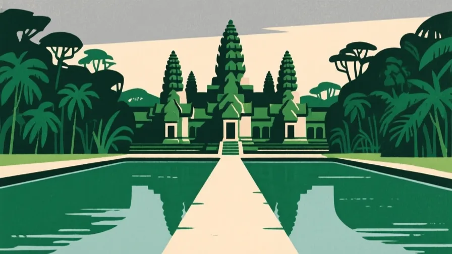
 Angkor · AI illustration, not a photograph
Historical place · Southeast Asia
Angkor
Also known as Yaśodharapura, អង្គរ
The capital region of the Khmer Empire in northern Cambodia, built around a large engineered water system.
Saved in this browser — no account needed. Sign in later and it comes with you.
Read its story
Where it is
Angkor occupies a plain in northern Cambodia between the Kulen hills and the Tonlé Sap, the great lake that swells and shrinks with the monsoon. The climate delivers most of its rain in a few months and almost none for the rest of the year, so the constraint is not the annual total but its distribution. The site is not a cluster of temples in forest: it is an engineered landscape of several hundred square kilometres — rectangular reservoirs called barays, canals, embankments, moats, roads and dispersed settlement, with the temples set inside it.
The land and water around it
The Tonlé Saplake
A lake whose feeder river reverses direction each monsoon as the Mekong backs up into it, expanding the lake several-fold. It is one of the most productive inland fisheries anywhere, and it is why this plain could feed a very large population.
The West Baraylake
A rectangular reservoir roughly eight kilometres long, built by embankment rather than excavation. Its scale is the clearest single statement of what this state could organise.
The Kulen hillsplateau
The upland north-east of the plain: the source of the water, and the quarry for the sandstone the temples are built from. Both had to be moved tens of kilometres.
Its history, in short
The Khmer Empire's capital region from the ninth century, Angkor was built up over four centuries by successive rulers, each typically founding a new temple and often a new reservoir. Its religious affiliation shifted between Hindu and Buddhist and back more than once, and the physical fabric records those changes as recarvings and additions. Its decline in the fourteenth and fifteenth centuries used to be told as a single sack; the evidence now supports something less tidy — decades of severe drought punctuated by intense monsoons, damage to canal infrastructure, trade shifting toward maritime routes, and a political centre moving south.
Timeline
Dates are shown on a timeline rather than as changing shapes on the map. The globe draws modern boundaries only, and tinting a modern outline to stand for a historical one would state something we cannot source.
Post-classical world
802
The Khmer Empire's traditional founding
Jayavarman II is traditionally recorded as declaring independent rule, the conventional start of the Angkorian period. The date comes from a much later inscription.
Approximate dateUNESCO World Heritage CentreThe 802 date derives from the eleventh-century Sdok Kok Thom inscription, written well after the events it describes.
12th century
Angkor Wat
Suryavarman II builds Angkor Wat as a Hindu temple dedicated to Vishnu, within a moat and, unusually for the tradition, oriented west. It is later adapted for Buddhist use and has remained in continuous religious use since.
Well attestedUNESCO World Heritage CentreLate 12th century
Angkor Thom and the Bayon
Jayavarman VII builds a new walled capital and the Bayon at its centre, along with hospitals and rest houses along the road network. The programme is Buddhist where his predecessors' had been Hindu.
Well attestedEncyclopædia Britannica1296–97
A Chinese envoy writes it down
Zhou Daguan spends about a year at Angkor and leaves the only substantial eyewitness description of the living city — its markets, clothing, law, festivals and royal processions. Everything else we have about daily life here is inscriptions and stone, which is why one visitor's report carries so much weight.
Well attestedEncyclopædia Britannica14th–15th centuries
Decline
Tree-ring records indicate decades of severe drought interrupted by intense monsoons; the waterworks show damage and modification; trade weight shifts toward maritime routes and the political centre moves south. The relative importance of these remains debated.
DisputedUNESCO World Heritage CentrePalaeoclimate, archaeological and economic explanations are all advanced by specialists, and their relative weight is unresolved. A single-event military collapse is not supported by the evidence.
Contemporary
1992
Inscribed as World Heritage, and immediately in danger
Angkor is inscribed and simultaneously placed on the List of World Heritage in Danger, given the condition of the site after decades of conflict and extensive looting. It was removed from the danger list in 2004.
Well attestedUNESCO World Heritage Centre2012 onward
Airborne laser survey
Lidar surveys reveal urban and hydraulic features across a far larger area than ground survey had found, including formal grids around temples and settlement extending well beyond the enclosures. The site's known extent grows substantially without a single new excavation.
Well attestedNASA Earth Observatory
Places that carry meaning
Angkor Wat12th century
A temple within a moat within a water landscape. Reading it as a standalone monument misses the system it sits in the middle of — and it has never been abandoned in the way the word 'ruin' implies.
The BayonLate 12th – early 13th century
The state temple of Angkor Thom, with towers carrying large carved faces. Who the faces represent — a bodhisattva, the king, or both at once — is interpreted rather than known.
The identification of the Bayon faces is argued between readings as Avalokiteshvara, as Jayavarman VII, and as a deliberate fusion. No reading is settled.
The barays9th–12th centuries
Rectangular reservoirs, built up with embankments. Whether their primary purpose was irrigation, ritual, or both has been argued for decades; the recent evidence leans toward genuine hydraulic function.
The 'hydraulic city' interpretation was proposed by Bernard-Philippe Groslier, disputed by scholars who read the barays as primarily ritual, and has been substantially supported by later hydrological and lidar work. The debate is not fully closed.
Languages here
Places are usually multilingual. This lists what is actually spoken, not one language per border.
KhmerAustroasiatic family
The language of Cambodia and of the empire that built Angkor.
Written in a script derived from South Indian models, with an inscriptional record running from the seventh century — one of the longest continuous documentary traditions in Southeast Asia.
SanskritIndo-Aryan family
The prestige and religious language of Angkorian inscriptions.
Angkorian inscriptions are often bilingual: Sanskrit verse for the religious and dynastic claims, Khmer prose for the administrative detail — land, labour, temple endowments. The Khmer half is where the economic history is.
Learn the language here
- 1Understand which languages are spoken hereAngkor is multilingual. Start with which languages are used, by whom, and for what — the phrase list only covers one of them.Written by Globe Quest
- 2Read why the language is what it isThe quest for this place covers how its languages got here and who speaks them.Written by Globe Quest
Check yourself
What problem does a large reservoir solve in a monsoon climate?
It moves water from the wet season into the dry one
Storage redistributes water in time. The total is unchanged; the useful growing season is extended.
What best describes current understanding of Angkor's decline?
A strained system met decades of drought, infrastructure damage and shifting trade
Multi-causal and gradual. The relative weight of the causes is still debated.
Worth arguing about
- Angkor is a heritage site people still live and farm in. What changes about management when a site is inhabited?
- Lidar found a much larger city without an excavation. What else might we be under-counting because we have only looked from the ground?
What we have not established
These are open questions, listed rather than filled in. We would rather show a gap than a plausible guess.
What was Angkor's population at its height?
Estimates range from several hundred thousand to around a million, and lidar has raised rather than settled them. They depend on assumptions about household size and how much of the mapped area was occupied at once. No figure is stated here.
How much of the Angkorian water network was functioning at any one time?
The barays and canals were built and modified across four centuries, and it is not established that all were operational simultaneously. Treating the mapped total as a single working system would overstate what the evidence shows.
Sources
- UNESCO · AngkorUNESCO World Heritage Centre · intergovernmental · checked 2026-09-08
- Britannica · AngkorEncyclopædia Britannica · encyclopedia · checked 2026-09-08
- Britannica · Tonle SapEncyclopædia Britannica · encyclopedia · checked 2026-09-08
- NASA Earth Observatory · Angkor, CambodiaNASA Earth Observatory · government · checked 2026-09-08
Reviewed by Globe Quest editorial on 2026-09-08.
Related places
Themes: Water & environment, Empires & independence, Religion & pilgrimage, How cities work