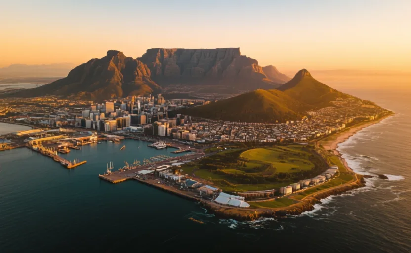
Start with geography
The turn at the bottom of a continent
Before the Suez Canal, a ship sailing between Europe and the Indian Ocean had to go around Africa. That made the southern tip of the continent a fixed point on one of the world's busiest routes — not a destination, a corner you have to turn.
Turning it takes weeks, and crews arrive short of fresh water and food. A place at the corner with a sheltered bay, a reliable stream off a large mountain, and land to grow vegetables is worth a great deal to somebody else's shipping. That is the whole founding logic of the settlement: it was built to supply passing ships.
On the map
Answer the check to continue.
Sources for this chapter
- UNESCO · Cape Floral Region Protected AreasUNESCO World Heritage Centre · checked 2026-09-07