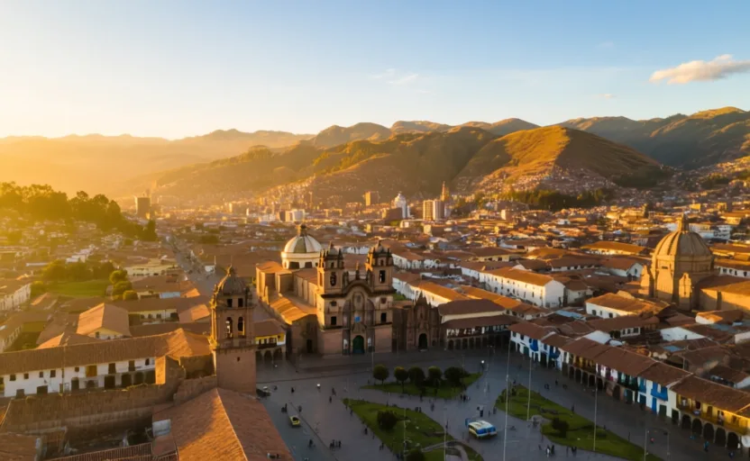
Start with geography
Climate stacked vertically
In the Andes the important axis is up. Within a short horizontal distance you can pass from coastal desert through valleys where maize grows, to high fields where only potatoes and other tubers do, to grazing land for llamas and alpacas above that.
Andean societies farmed several of these bands at once, keeping fields and herders at different altitudes so that a failure in one zone did not mean famine. It is a strategy of deliberate spread rather than concentration — an insurance system built into the settlement pattern.
Answer the check to continue.
Sources for this chapter
- UNESCO · City of CuzcoUNESCO World Heritage Centre · checked 2026-09-07