794
Hills on three sides, rivers through the middle
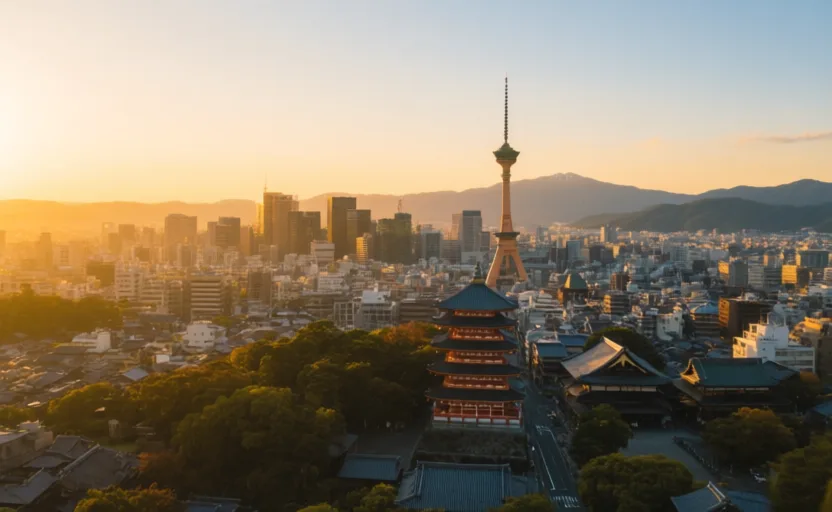
Heian-kyō was founded in 794 in a basin closed by hills to the north, east and west and open to the south, with rivers including the Kamo running through it. The site was chosen deliberately, on principles about land, water and direction that were taken seriously by the people doing the choosing.
Onto that basin went a grid derived from Chinese capital planning, as at Nara before it. Kyoto's street layout still carries the grid's geometry, which is why the modern city is unusually easy to navigate by numbered avenues.
Answer the check to continue.
Sources for this chapter
- UNESCO · Historic Monuments of Ancient Kyoto (Kyoto, Uji and Otsu Cities)UNESCO World Heritage Centre · checked 2026-09-07