c. 2500 BCE
Planned from the start, not grown into
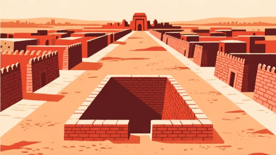
Most ancient cities accreted: a settlement got bigger, streets followed the paths that were already there, and the plan is the fossil of that growth. Mohenjo-daro is not like that. Its streets run on a grid, its major thoroughfares are aligned, and its drainage was laid out with the buildings rather than added afterwards.
That sequencing is the whole point. Drains under the streets, with brick-lined channels and inspection access, and household waste chutes connecting into them, means somebody decided the layout before the houses went up — and had the authority to hold everyone to it. A grid is a claim about who is in charge.
On the map
Answer the check to continue.
Sources for this chapter
- UNESCO · Archaeological Ruins at MoenjodaroUNESCO World Heritage Centre · checked 2026-09-08