Start with geography
Mountains make the river; the river makes the city
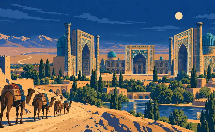
Central Asia between the mountains and the Aral basin is mostly arid. What breaks it up is meltwater: rivers running out of the high ranges into the plains, where they support irrigated agriculture until they evaporate or are used up.
Samarkand sits on one of them, the Zeravshan, which comes down from the Pamir-Alay and runs west into the Kyzylkum desert. That single river supports the oasis belt that carries Samarkand and, downstream, Bukhara. A caravan route is not a line on a map — it is a chain of places where animals and people can be watered. The river decides where the chain can go.
On the map
Answer the check to continue.
Sources for this chapter
- UNESCO · Samarkand – Crossroad of CulturesUNESCO World Heritage Centre · checked 2026-09-07