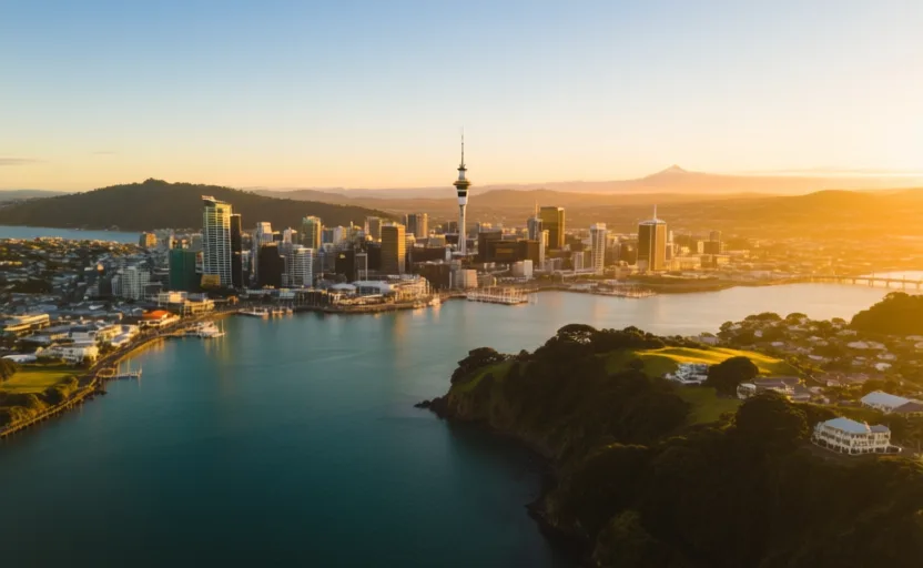
 Wellington · AI city illustration · Artistic impression
Journey · 4 stops
Reading the ocean
Two traditions of open-water navigation, and the coasts they arrived at.
What does it take to cross an ocean deliberately, and what arrives with the ships?
What you should be able to do after this: Compare Polynesian and European long-distance voyaging as bodies of accumulated knowledge, and trace what followed for the places they reached.
Themes: Seas & navigation · Migration & diaspora · Indigenous & living cultures · Empires & independence
- Stop 1 · Wellington · OceaniaNavigating to the edge of the mapHow Polynesian voyagers reached Aotearoa, and what a treaty in two languages did next.0 of 4 chapters read · about 10 minWellington · AI city illustration · Artistic impression
Polynesian voyaging was systematic knowledge — stars, swell, wind, birds — held without instruments and transmitted by teaching. Now look at a European programme that reached the same conclusion by a different route, and wrote it down.
- Stop 2 · Lisbon · EuropeThe city that faced the open seaAn estuary, a sea route to Asia, and an earthquake that rebuilt a capital.0 of 4 chapters read · about 9 min
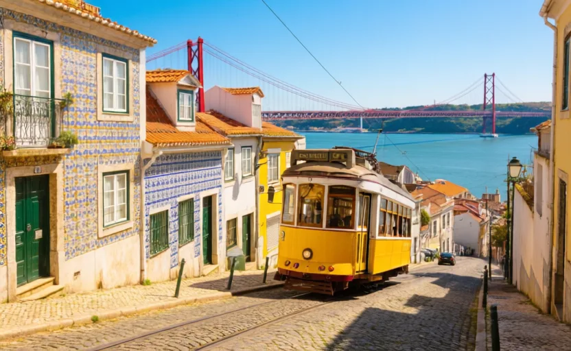 Lisbon · AI city illustration · Artistic impression
Portugal's route was built incrementally, cape by cape, and its purpose was commercial from the start. The turning point on that route became a place in its own right.
- Stop 3 · Cape Town · AfricaA mountain, two oceans and a checkpointWhy a refreshment stop became a city, and what the city did to its own people.0 of 4 chapters read · about 10 min
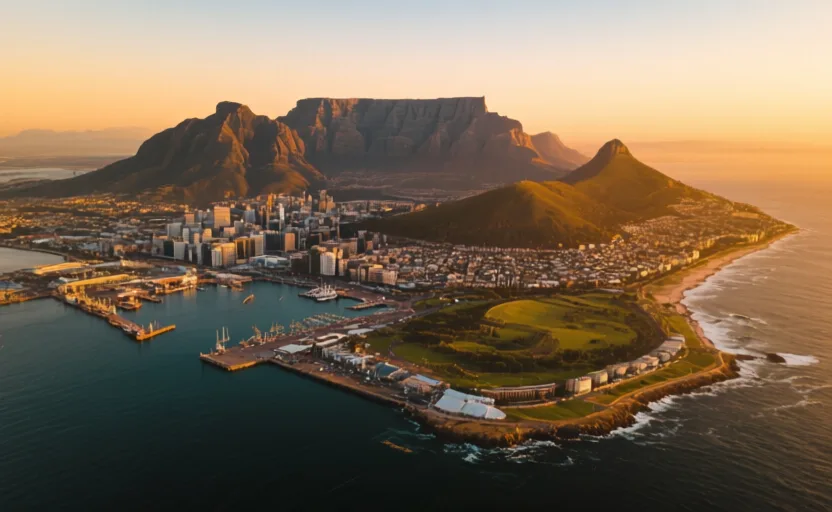 Cape Town · AI city illustration · Artistic impression
A corner on somebody else's route becomes a colony, then a country. Follow the same route east to where it meets the shortest passage between two oceans.
Where this ends up
The synthesis is hidden until you have read the stops — it gives away the pattern the journey is asking you to notice. 4 to go.
Assembled by Globe Quest editorial, last reviewed 2026-09-07. Each stop carries its own sources.